Hello, I am Bakar, a geospatial professional with a passion for all things spatial.
About me
I am a geospatial professional. I have spent most of my career with Earth observation data from satellites and aircraft; today I work mainly with drone sensors, from RGB cameras to LiDAR. The goal has stayed the same: turning raw data into information people can use. My work sits at the intersection of remote sensing, data engineering and machine learning. I analyze imagery at scale, build pipelines and backends that serve it, and fine-tune foundation models, alongside open-source LLMs and VLMs, to find what matters in it. Since November 2025 I have been doing this at Beagle Systems, with data from long-range drones.
- education
- 2012 – 2015BSc GeologyBahria University
- 2016 – 2020MSc Remote Sensing & GISNUST, Islamabad
- 2017 – 2020MSc GeologyUniversity of Freiburg
- career
- 04/2021 – 02/2024GIS Specialist & Data EngineerMapTransfer
- 03/2024 – 10/2025Geospatial (EO) Data ScientistKaruna Technology
- since 11/2025Geospatial Data SpecialistBeagle Systems
From orbit to drone
My path in remote sensing, from satellites to drones. Scroll to descend.
-
01 · Satellite · from 2016
It started in orbit.
My work began with satellite data from Landsat 7 and 8, Sentinel-1, -2, -3 and -5P, MODIS, ASTER, EO-1 Hyperion, TRMM and Planet: optical, hyperspectral, radar, thermal and atmospheric views of the Earth from several hundred kilometers up. At 30 m per pixel, a whole village is a handful of colored squares.
~705 km · 30 m pixels
-
02 · Aerial · from 2021
Then closer: aerial imagery.
Then I moved closer, to data from aircraft: orthophotos at 5, 10 and 20 cm per pixel, including Germany’s open DOP10 and DOP20, and airborne LiDAR point clouds. At this resolution, every house, road and tree appears.
~1 km · 5–20 cm pixels
-
03 · Drone · since 11/2025
Today: drones.
Today I work with data from long-range drones that fly beyond visual line of sight, carrying cameras and LiDAR at low altitude. At about 2 cm per pixel, single objects stand out, and a detection model can find them.
~100 m · ~2 cm pixels
Curriculum vitae
Selected work and skills. The complete CV is available as a PDF.
Professional experience
-
11/2025 – present
Geospatial Data Specialist Beagle Systems, Hamburg
Beagle Systems flies long-range drones beyond visual line of sight (BVLOS) to monitor pipelines, utilities and other infrastructure.
- Developed an open-source drone LiDAR pipeline that georeferences point clouds with PPK, classifies power-line scenes, rebuilds missing conductors from their sag and rates nearby vegetation by risk; tree-fall analysis in progress.
- Built an AI-driven right-of-way and construction-site monitoring pipeline: deep-feature-matching georeferencing, a fine-tuned foundation model for detection, an open-source VLM to verify it, and real-time inference on an NVIDIA Jetson.
- Fine-tuned a building-segmentation foundation model on in-house labels created from 10 cm orthophotos and scaled it across the Cologne area.
- Built a PostGIS and TiTiler backend that serves large GeoTIFFs to the frontend as map tiles, and supported flight planning with pre-flight checks and new geodatabase data.
-
03/2024 – 10/2025
Geospatial (EO) Data Scientist, part-time Karuna Technology UG, Germany
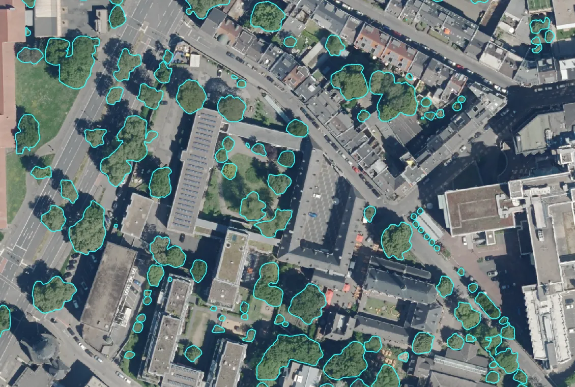
- Fine-tuned a pretrained deep-learning model on in-house training data to map urban tree canopies from aerial imagery, then tracked their health with Planet NDVI and NDWI time series in Google Earth Engine to flag underperforming trees.
- Projected the long-term ecosystem services of the mapped trees through a tree-benefits API, from carbon storage to further environmental benefits, estimating the urban canopy’s value over the coming decades.
- Built Google Earth Engine workflows that clean multi-year Sentinel-1 radar time series with speckle filtering and apply an equation to derive soil-moisture maps, showing where golf courses suffer from water stress.
-
04/2021 – 02/2024
GIS Specialist & Data Engineer MapTransfer, Germany
- Managed the end-to-end geodata workflow for a construction company: georeferenced construction plans and orthophotos, converted them into cloud-optimized GeoTIFFs, uploaded them to AWS S3, and set up QGIS with PostgreSQL as the customer’s secure front end.
- Designed and authored several GIS courses for students and professionals, covering LiDAR processing, spatial analysis, Spatial SQL, ALKIS and GeoServer.
- Converted AutoCAD data in QGIS into accurate, ALKIS-compliant GIS layers for telecom infrastructure projects.
- Built interactive Web GIS applications in OpenLayers, serving WMS layers through GeoServer from PostgreSQL.
Education
-
2017 – 2020
MSc Geology University of Freiburg, Germany
- Thesis: Simulation of multispectral and hyperspectral imaging techniques for mapping of epithermal ore deposits in vegetated zones.
-
2016 – 2020
MSc Remote Sensing & Geographic Information Systems National University of Sciences and Technology, Pakistan
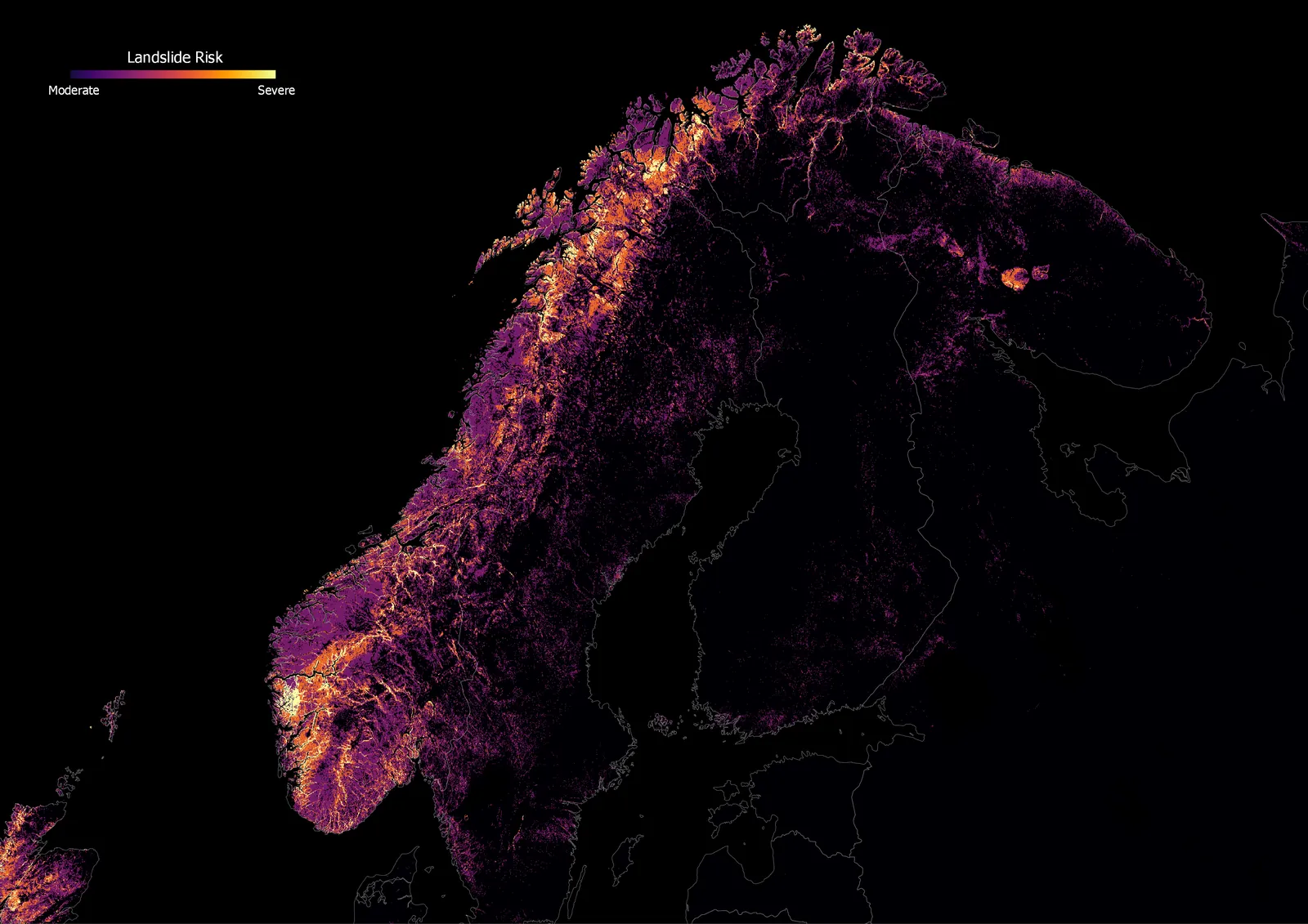
- Thesis: Development of an open-source Python-based slope stability model that incorporates remote sensing and geotechnical data for slope failure assessment.
-
2012 – 2015
BSc Geology Bahria University, Pakistan
- Thesis: Petrophysical analysis of Joya Mair – Well 4.
Academic projects
- Glacier mass balance of Mýrdalsjökull from historical imagery and DEMs, showing the melting rate doubled after 2000 (Landsat, Sentinel-2); snow cover and precipitation variability, 2000–2015 (MODIS, TRMM); snow-cover change in the Kabul Basin and its impact on water resources (Landsat 7); land cover, erosion and morphometry of Mauna Kea (Landsat 8, ASTER).
Skills
- Geospatial AI
- Fine-tune foundation models for detection and segmentation on drone and aerial imagery, and run open-source LLMs and VLMs as quality gates in production pipelines, from GPU servers down to the edge.
- LiDAR
- Take drone LiDAR from raw scans to deliverables: PPK georeferencing, sensor calibration, point-cloud classification and power-line analytics.
- Remote sensing
- Turn SAR, multispectral and hyperspectral data into maps that answer questions, from Google Earth Engine time series to centimeter-scale drone imagery.
- Spatial data
- Model, clean and convert vector data at scale, from ALKIS cadastre and CAD plans to analysis-ready GIS layers, in GeoPandas, PostGIS and QGIS.
- Data engineering
- Build the plumbing behind it: PostGIS databases, cloud storage on AWS, containerized pipelines and tile services that feed web frontends.
- Programming
- Python every day; Spatial SQL, R and Bash where they fit.
- Geology
- Trained geologist with a BSc and MSc: numerical modeling and petrophysics.
Languages
- English
- C2
- German
- B2
Certificates
show all 6hide
-
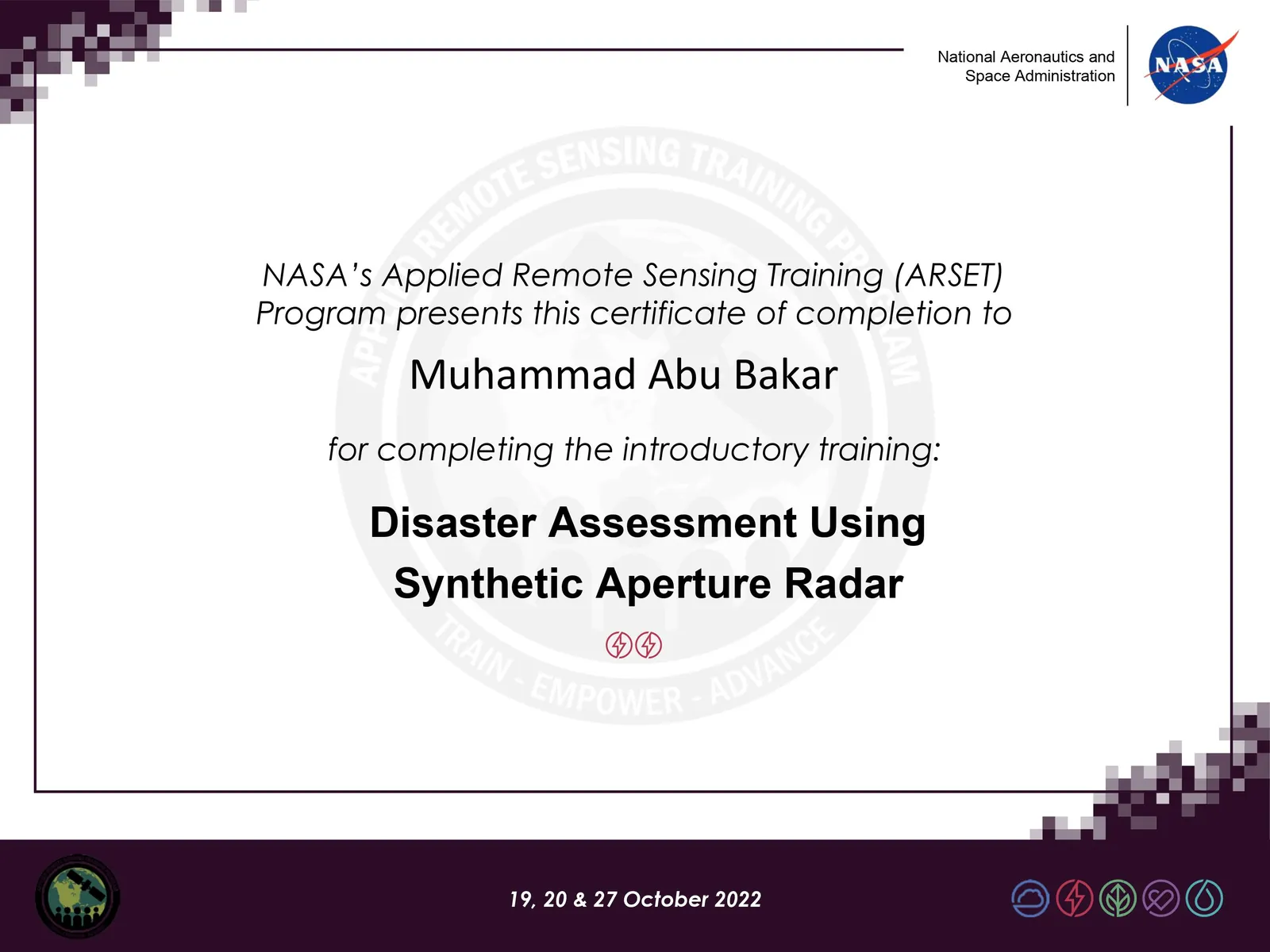
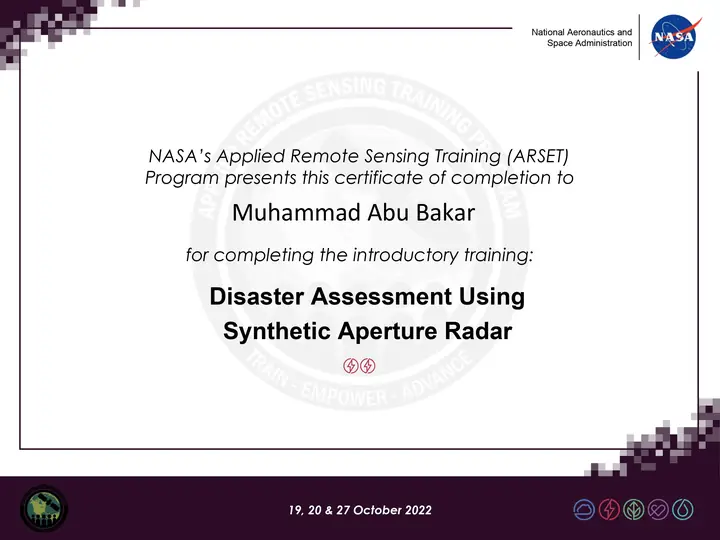 Disaster Assessment Using Synthetic Aperture Radar
-
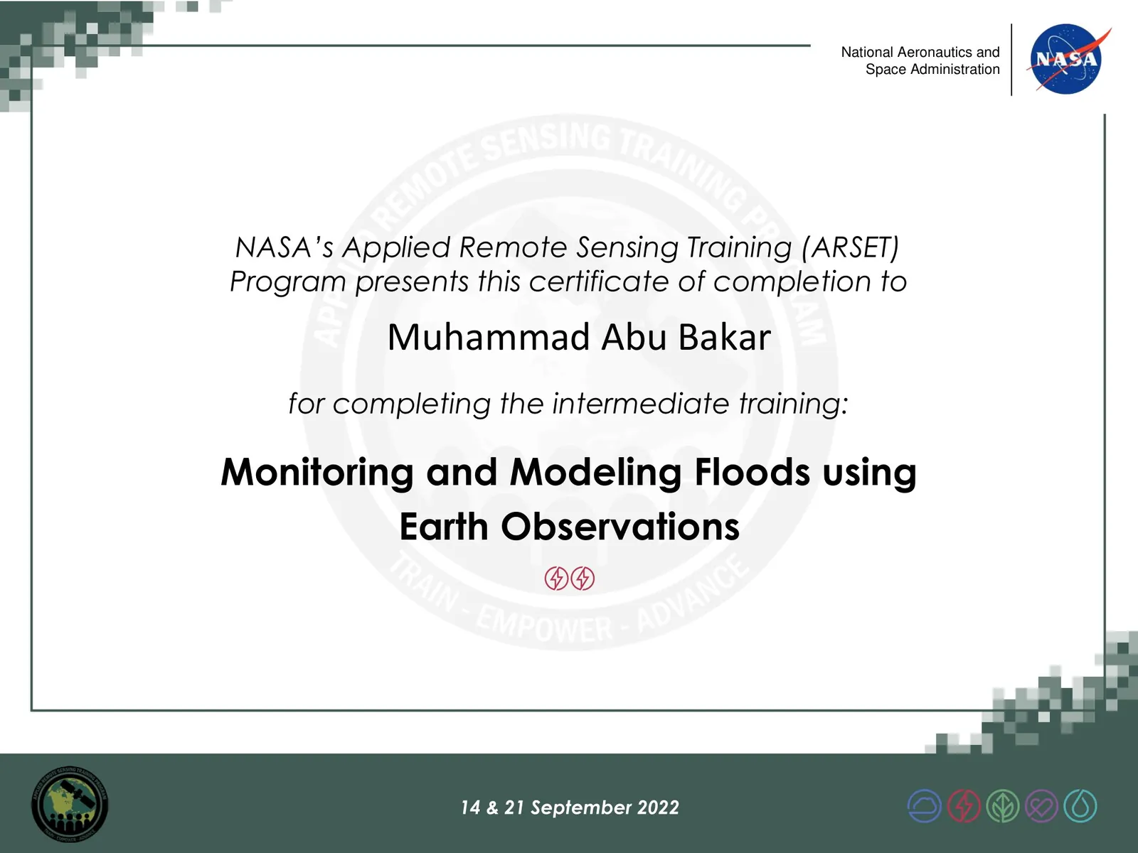
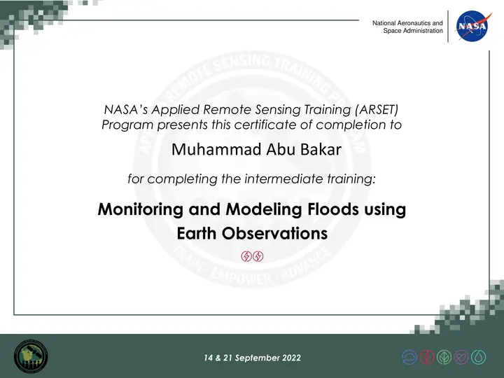 Monitoring and Modeling Floods using Earth Observations
-
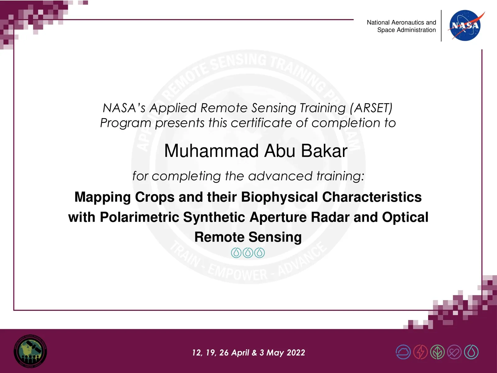
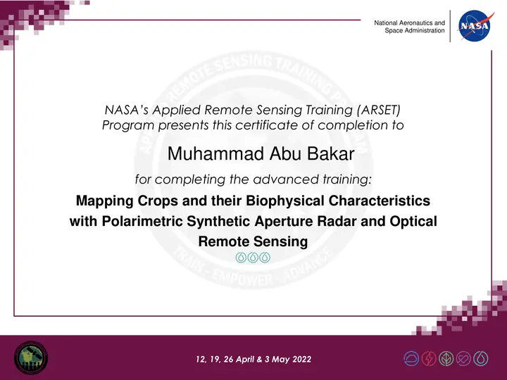 Mapping Crops and their Biophysical Characteristics with Polarimetric SAR and Optical Remote Sensing
-
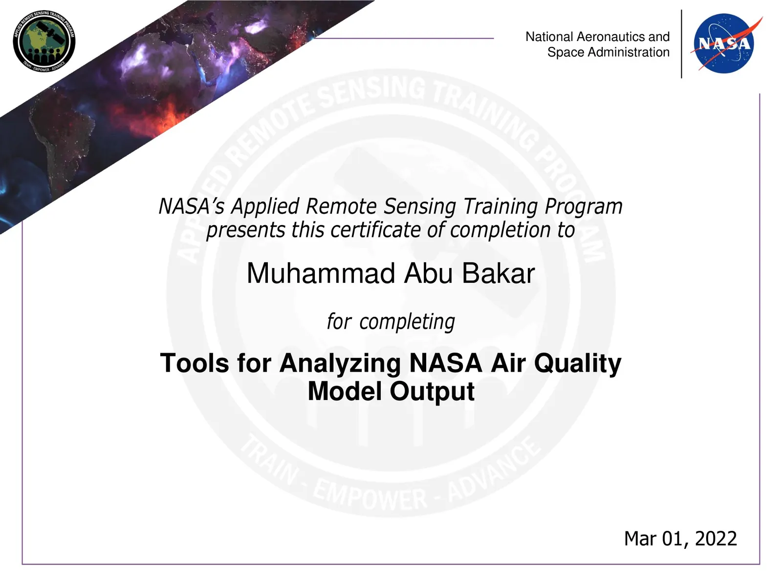
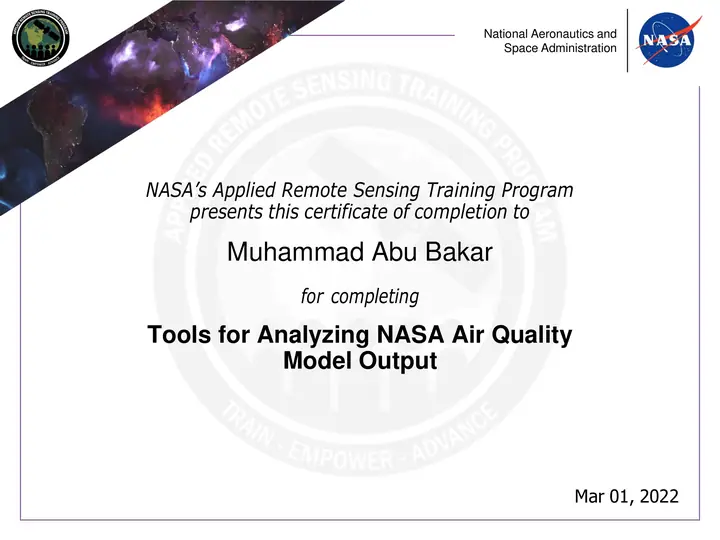 Tools for Analyzing NASA Air Quality Model Output
-
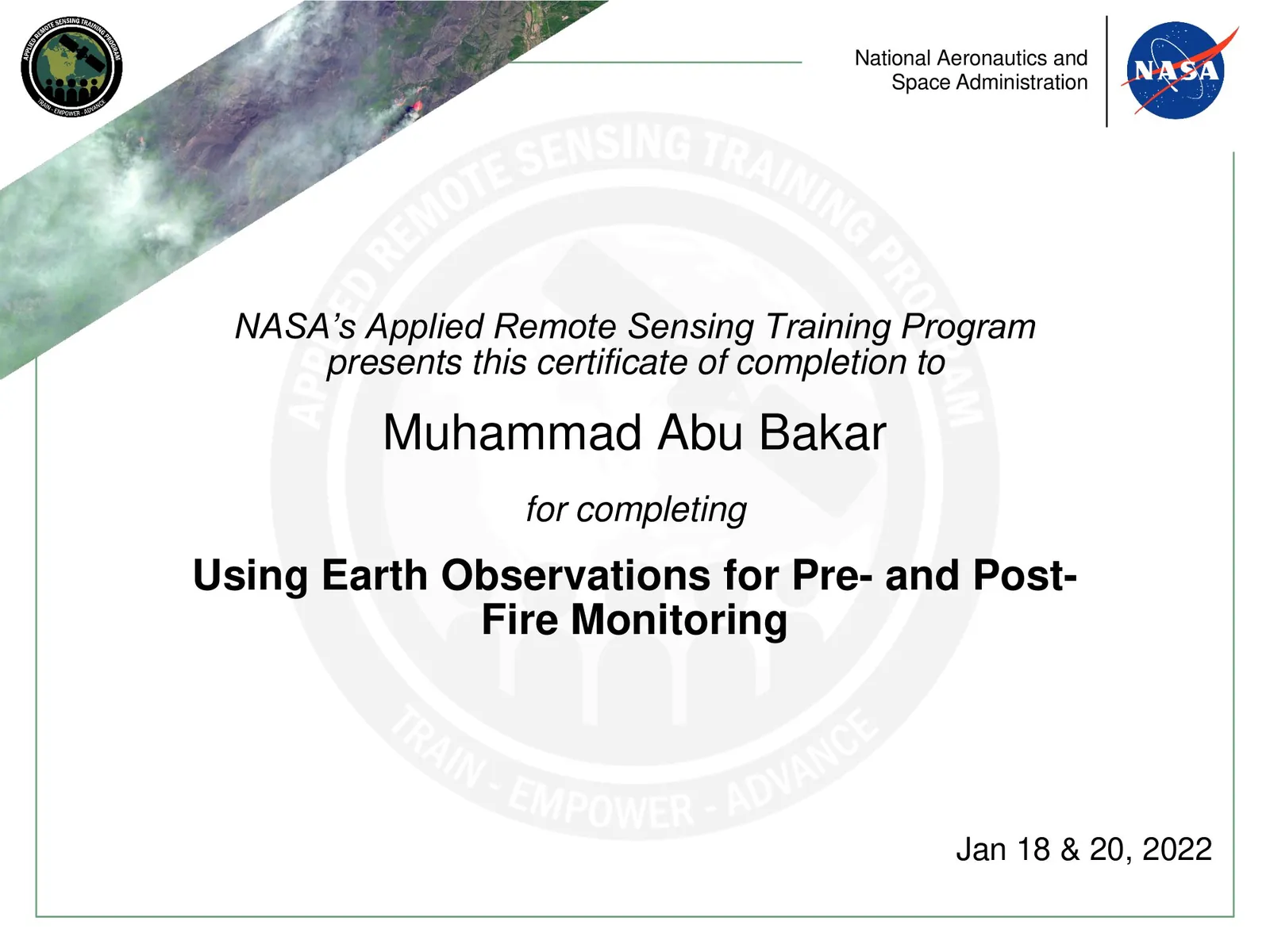
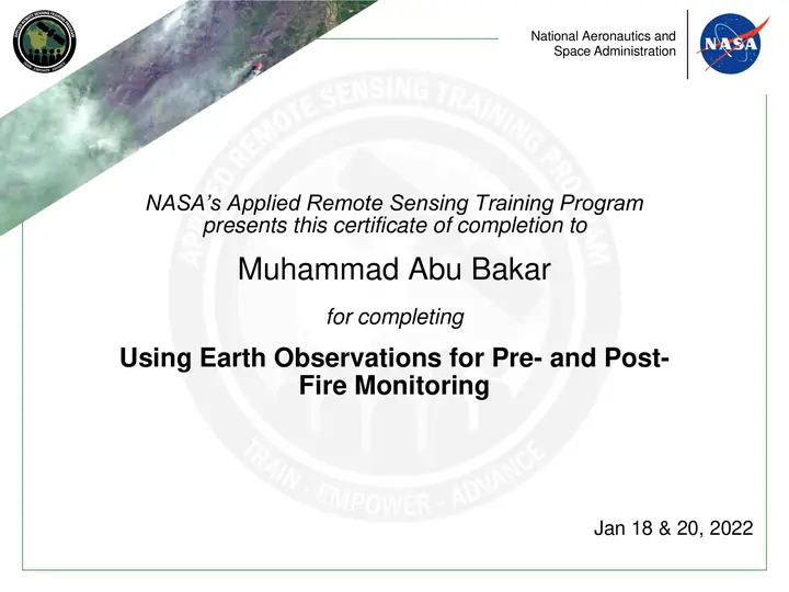 Using Earth Observations for Pre- and Post-Fire Monitoring
-
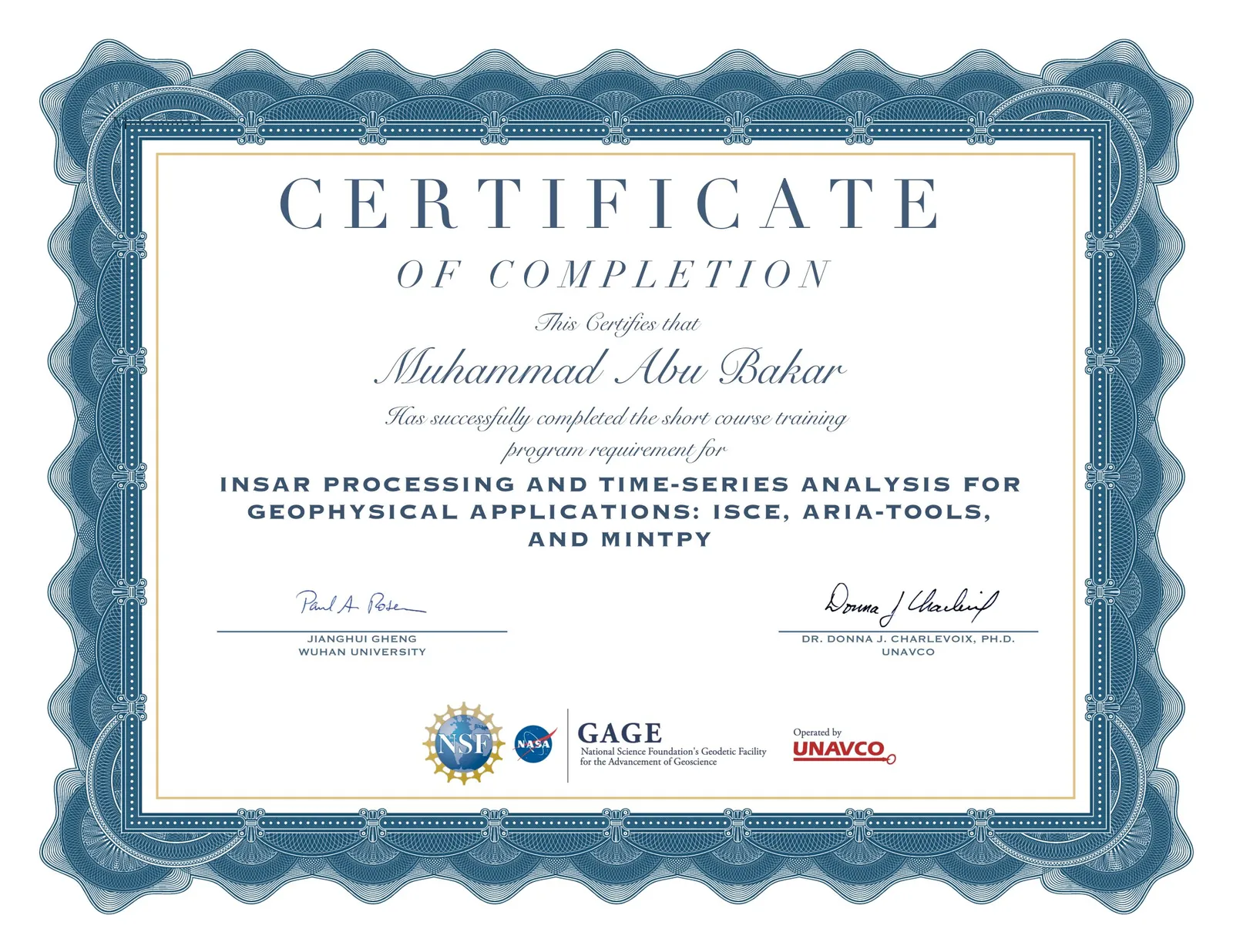
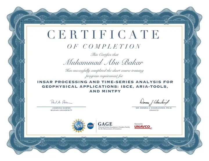 InSAR Processing and Time-Series Analysis for Geophysical Applications: ISCE, ARIA-tools, and MintPy
Visualizations
Maps and data graphics from personal and academic projects.
-
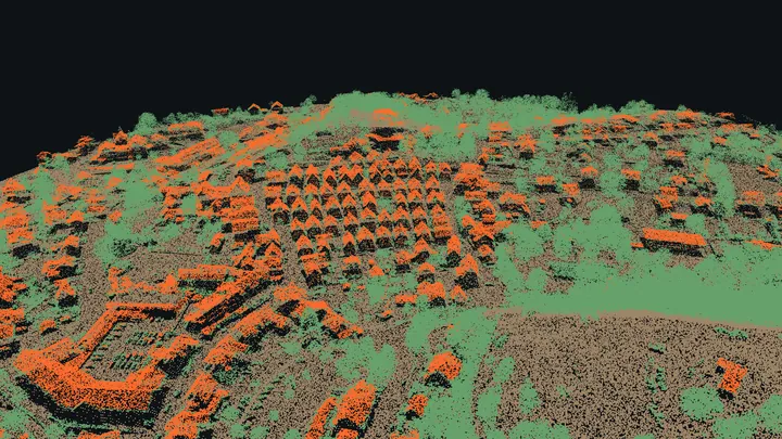 Plate 01: LiDAR point cloud, Freudenberg
animation
Plate 01: LiDAR point cloud, Freudenberg
animation
-
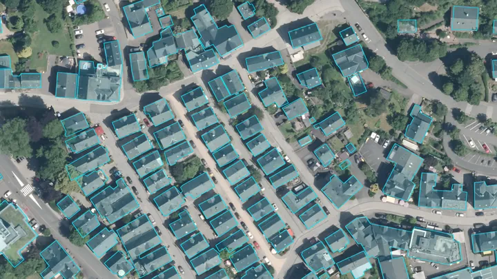 Plate 02: Building outlines, Freudenberg
animation
Plate 02: Building outlines, Freudenberg
animation
-
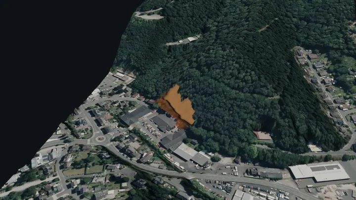 Plate 03: Landslide simulation, Freudenberg
animation
Plate 03: Landslide simulation, Freudenberg
animation
-
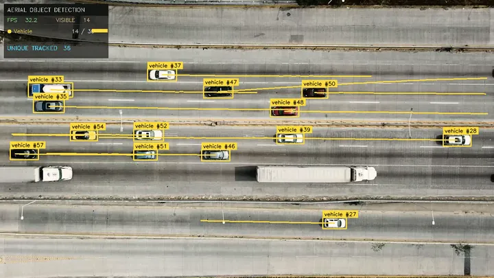 Plate 04: Vehicle detection and tracking
animation
Plate 04: Vehicle detection and tracking
animation
-
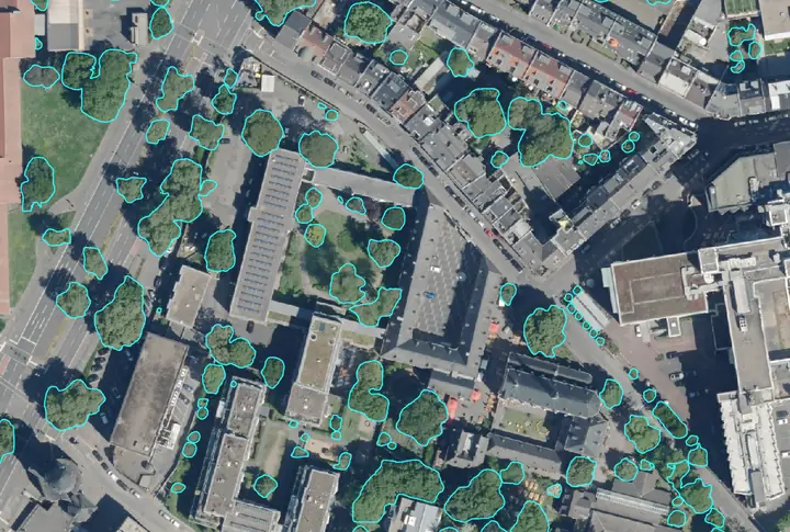 Plate 05: Tree crowns in an orthophoto
-
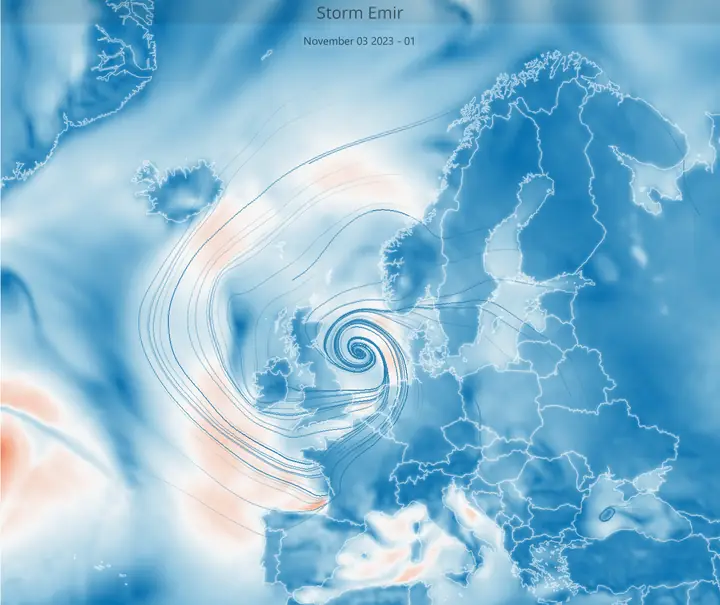 Plate 06: Storm Emir
animation
Plate 06: Storm Emir
animation
-
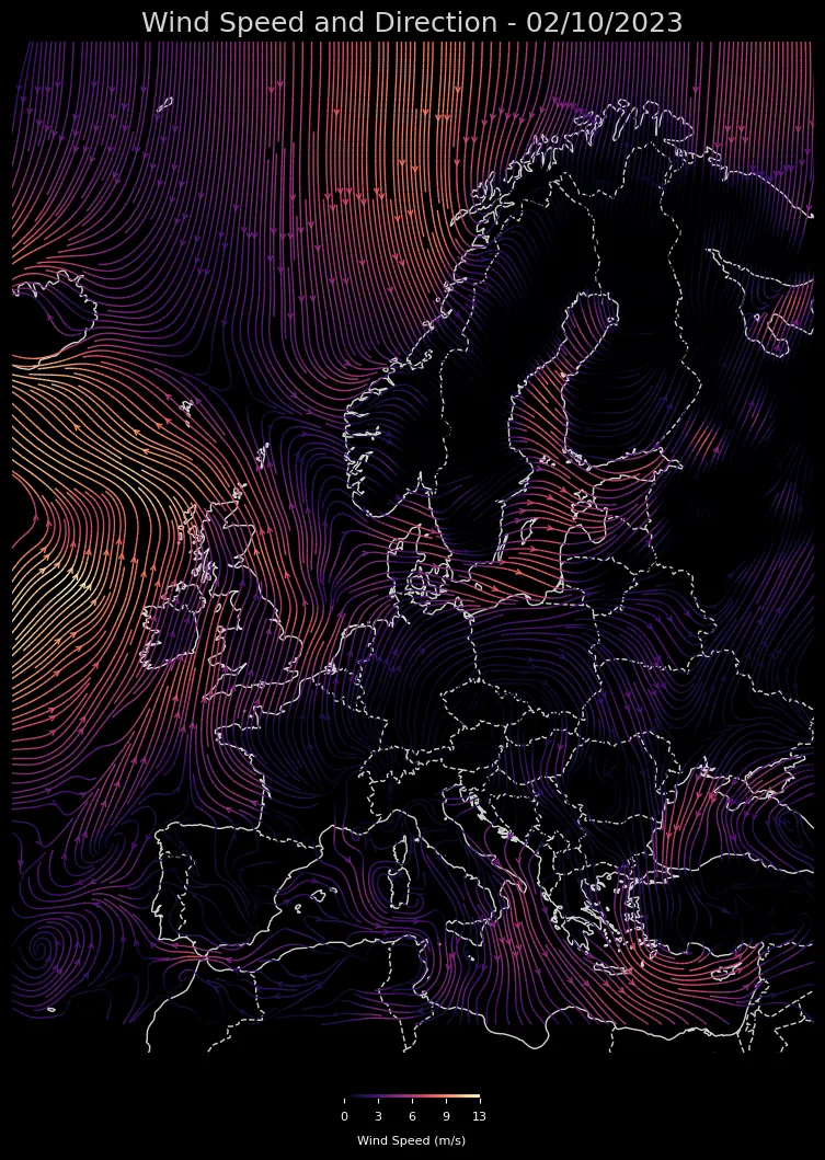
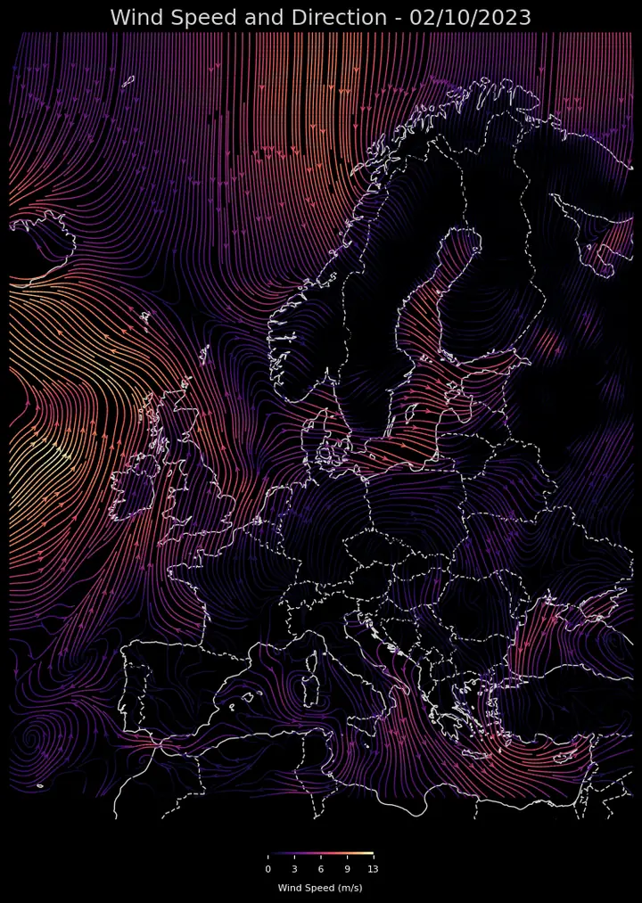 Plate 07: Wind over Europe
-
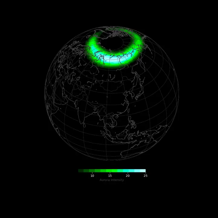 Plate 08: Auroras over the North Pole
animation
Plate 08: Auroras over the North Pole
animation
-
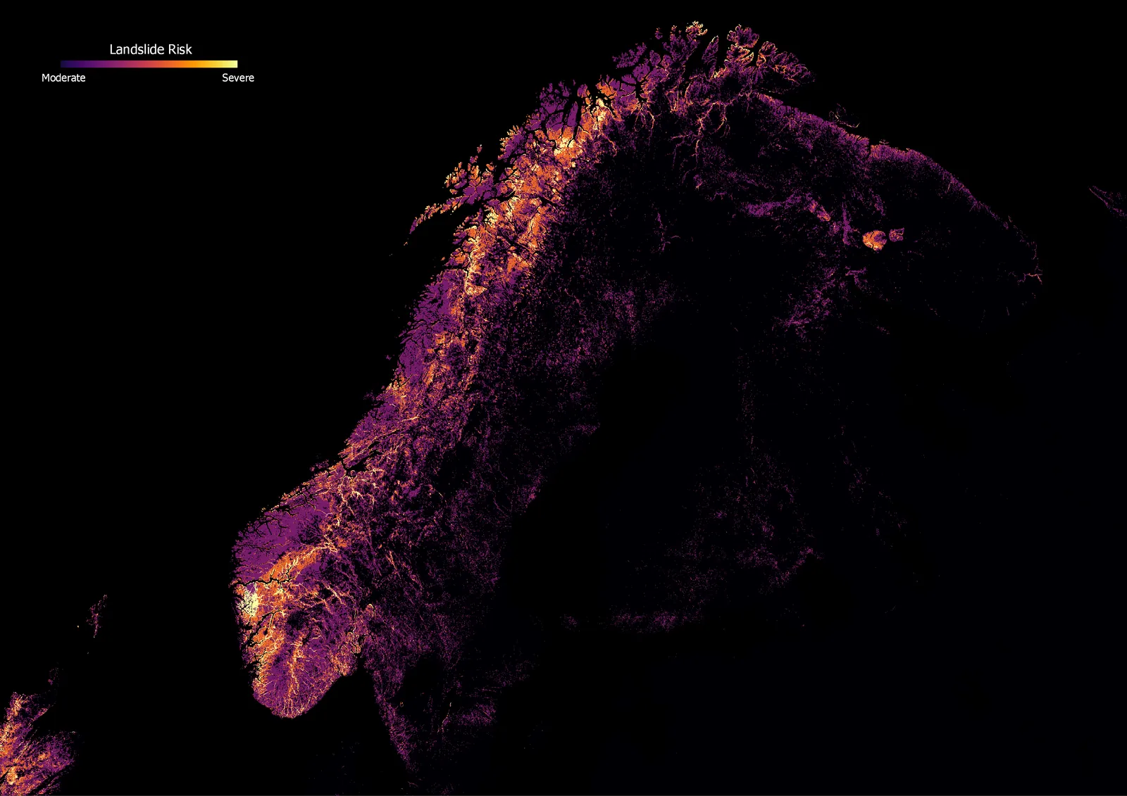
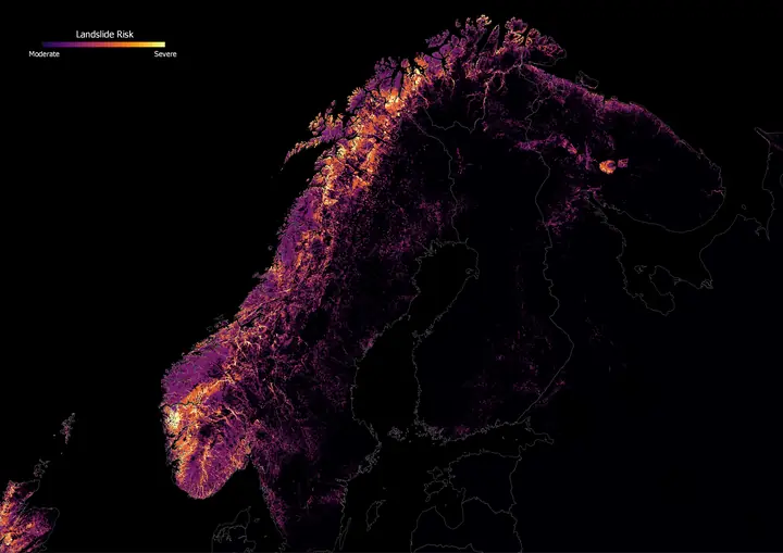 Plate 09: Landslide risk, Scandinavia
-
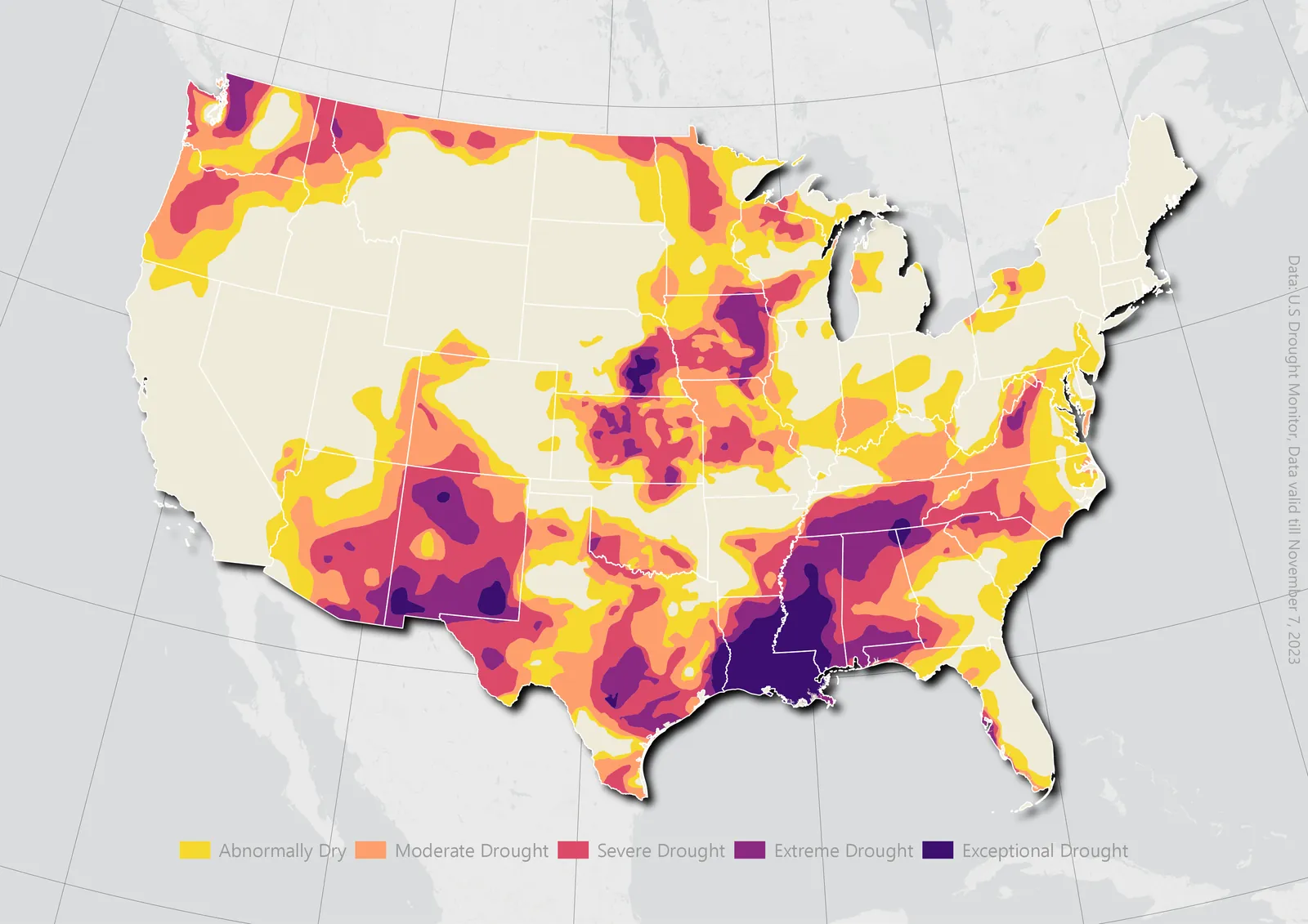
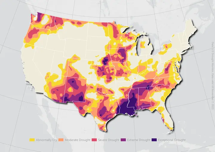 Plate 10: Drought in the United States
-
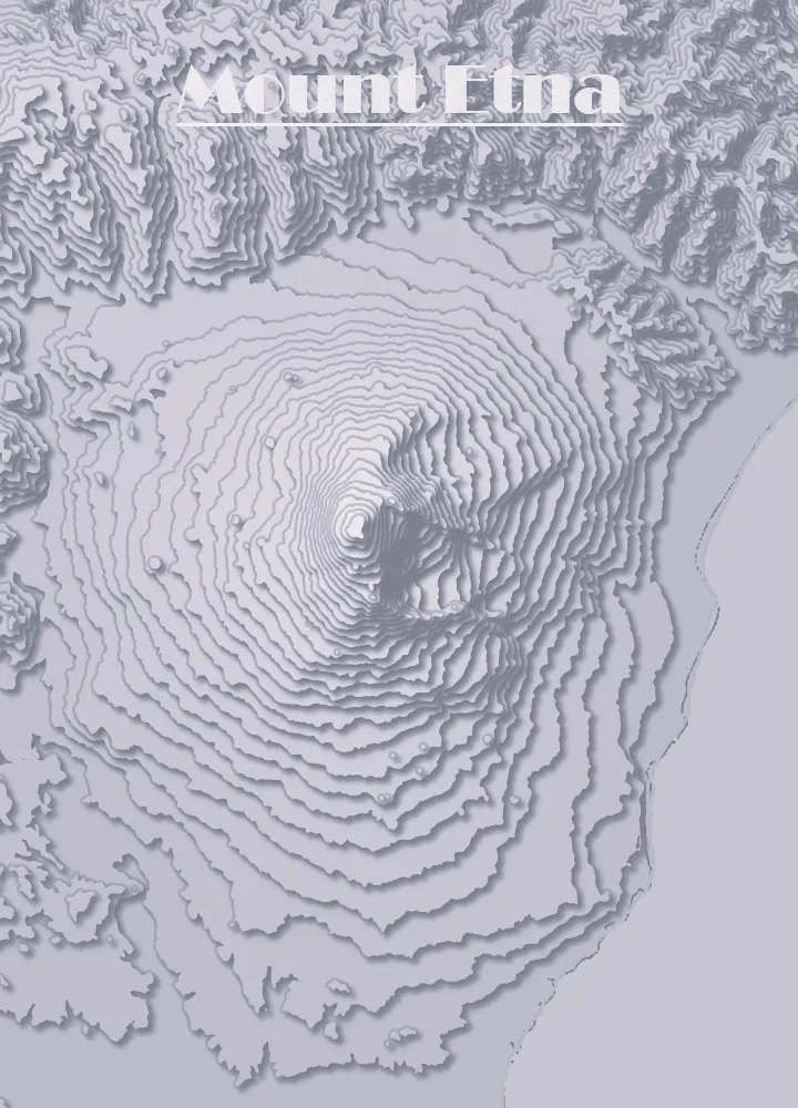
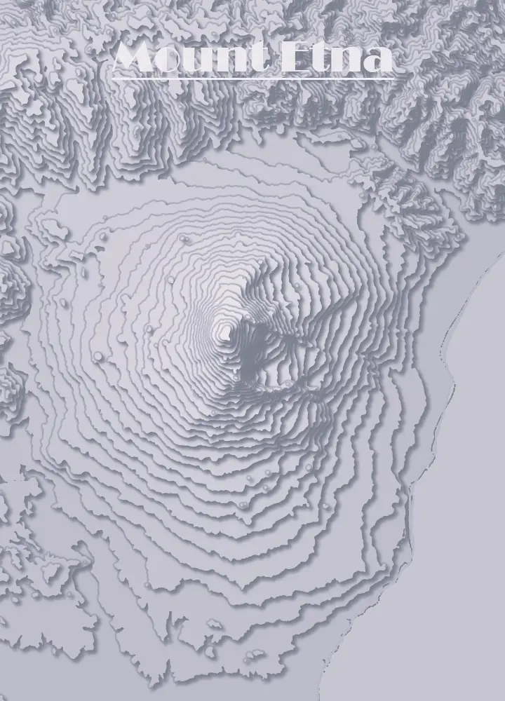 Plate 11: Mount Etna
-
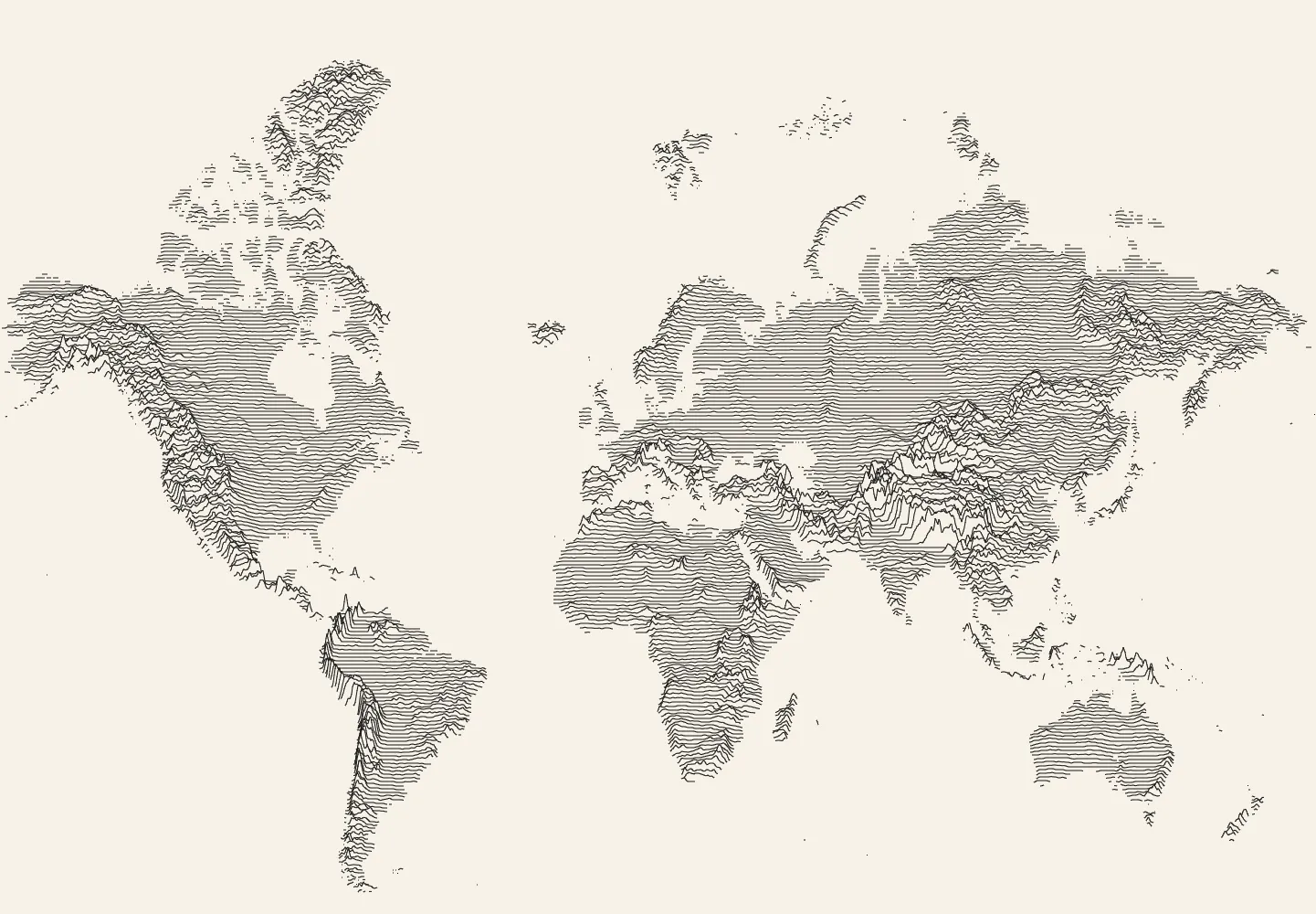
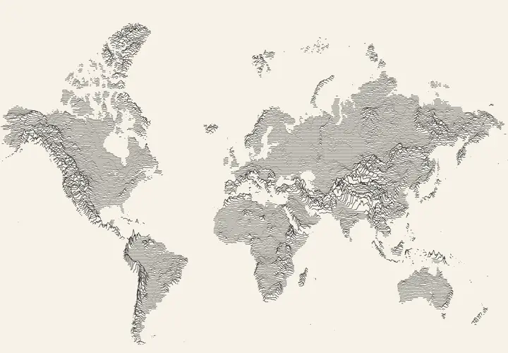 Plate 12: Ridge lines of the world
-
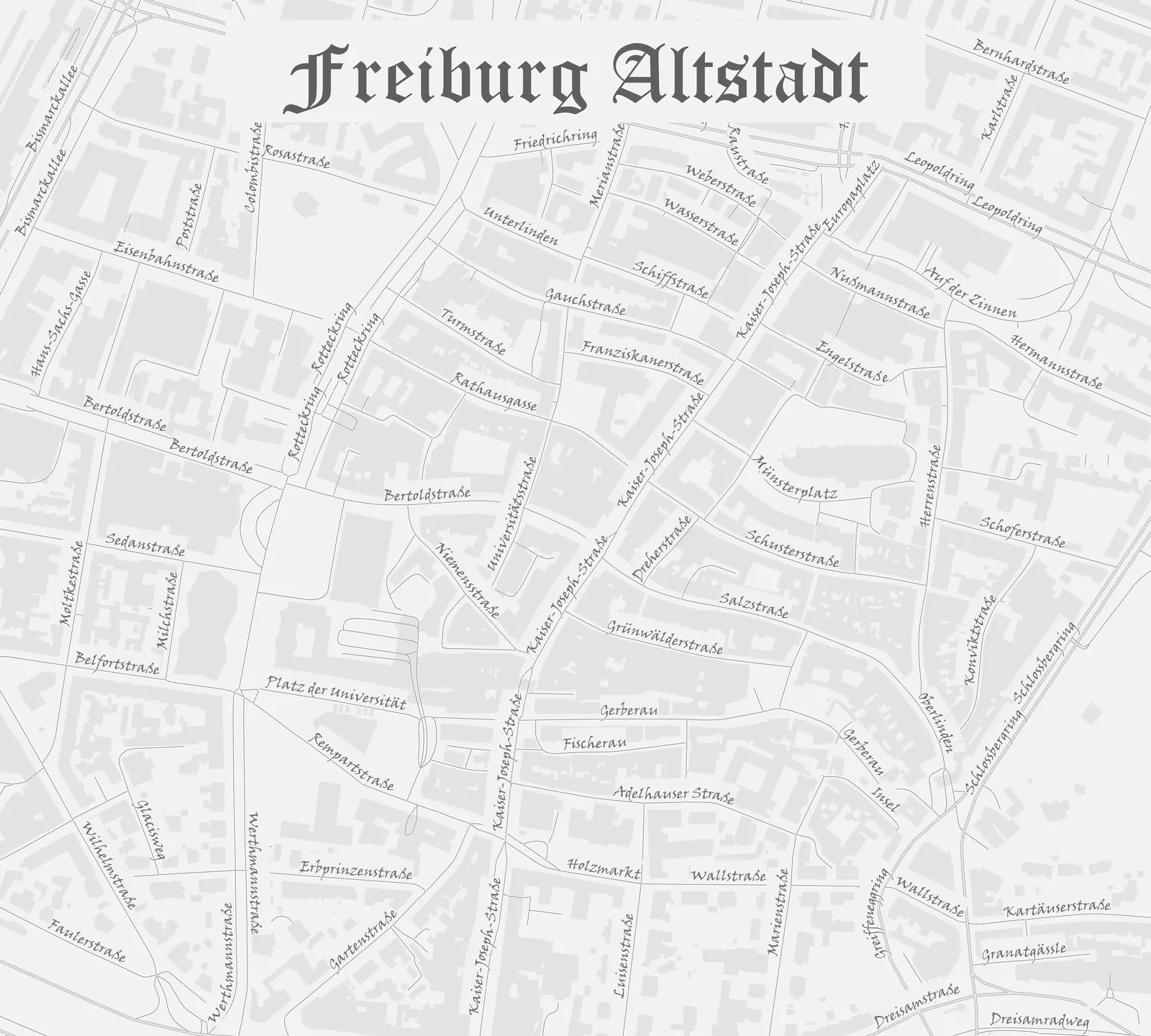
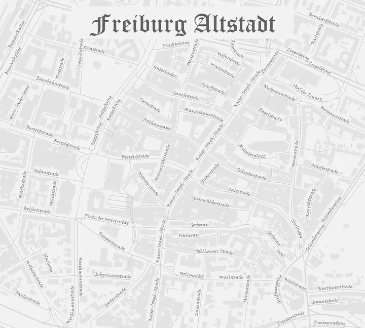 Plate 13: Freiburg old town
-
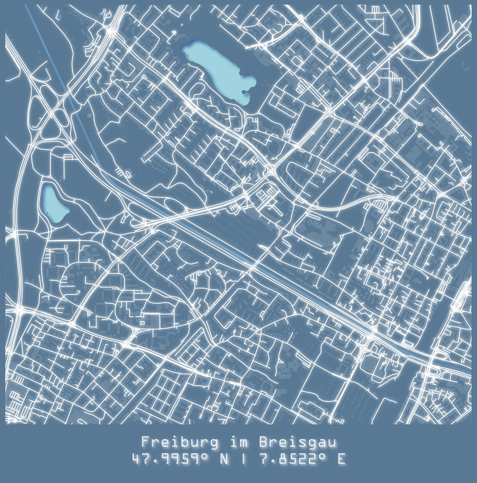
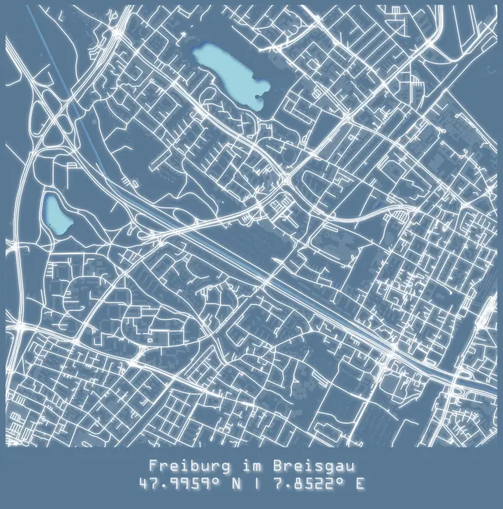 Plate 14: Street network of Freiburg
-
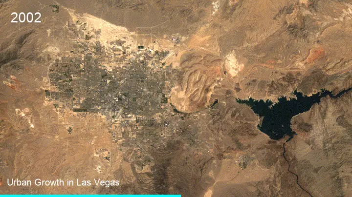 Plate 15: Urban growth in Las Vegas
animation
Plate 15: Urban growth in Las Vegas
animation
-
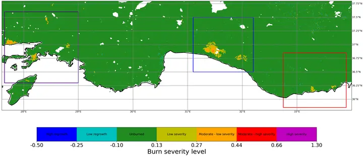 Plate 16: Burn severity
animation
Plate 16: Burn severity
animation
-
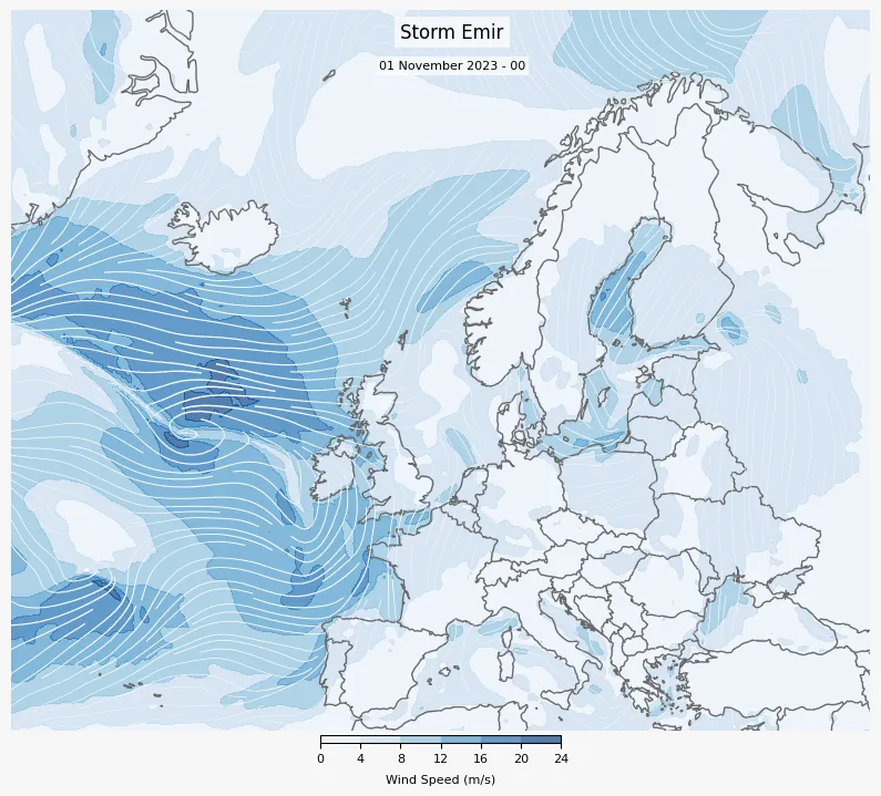
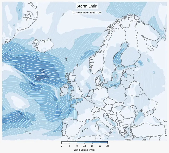 Plate 17: Storm Emir, wind speed
-
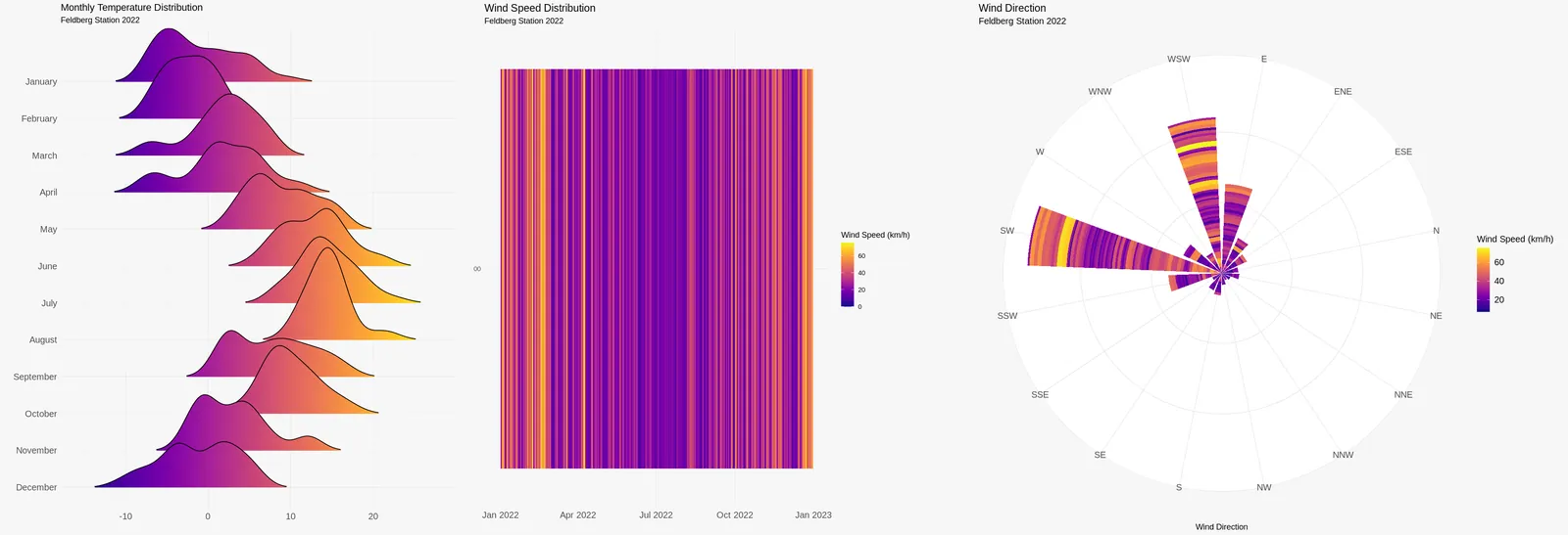
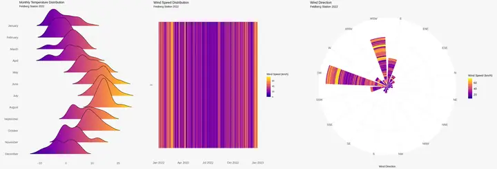 Plate 18: Temperature and wind charts
-
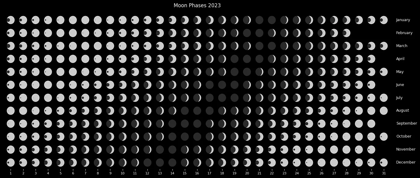
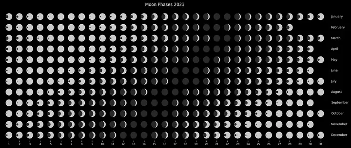 Plate 19: Moon phases (2)
-
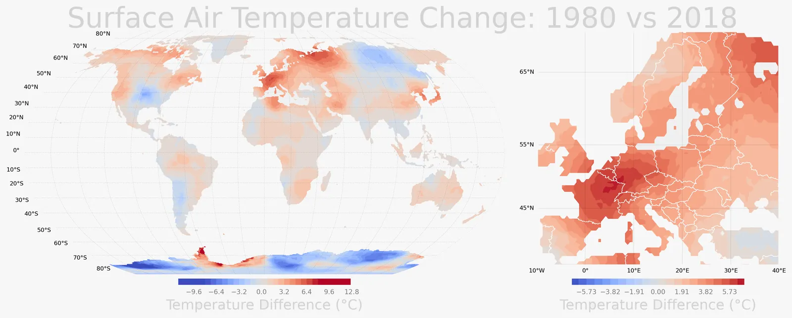
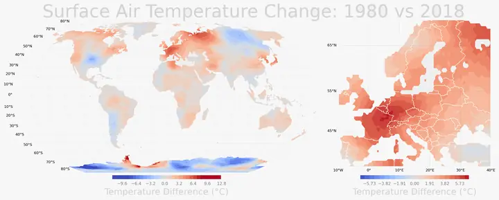 Plate 20: Surface air temperature change
-
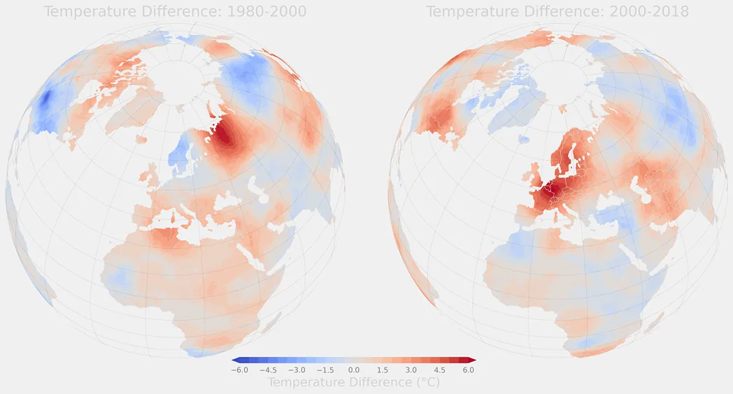
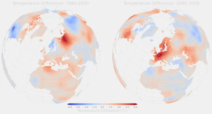 Plate 21: Temperature change at the poles
-
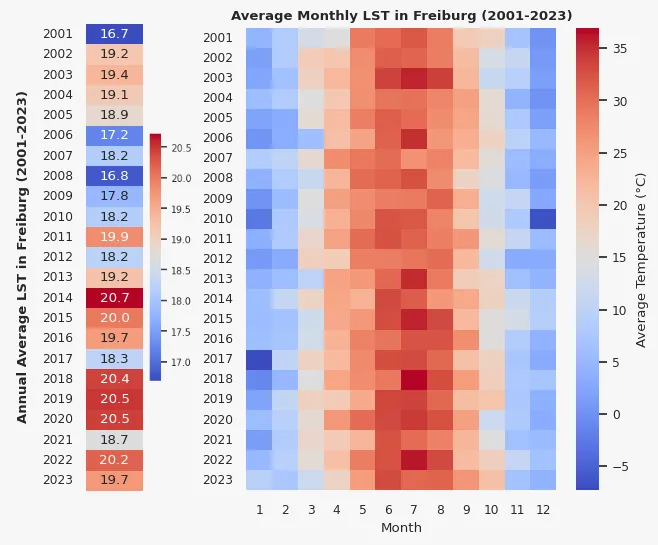
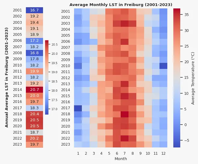 Plate 22: Land surface temperature, Freiburg
-
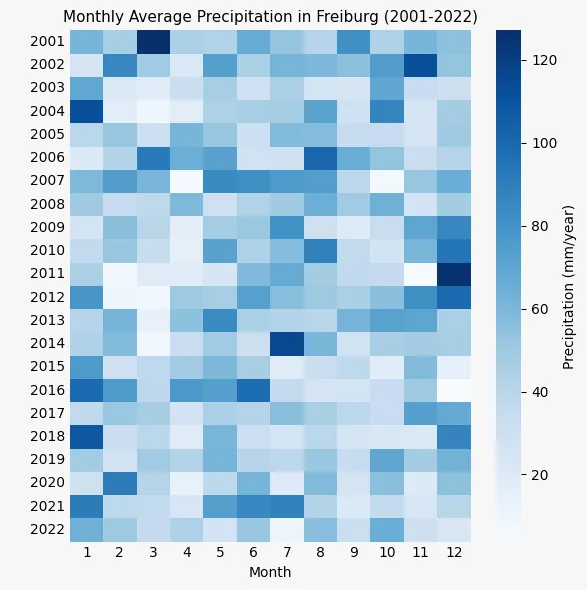
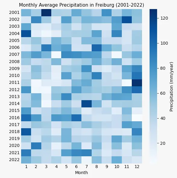 Plate 23: Monthly precipitation, Freiburg
-
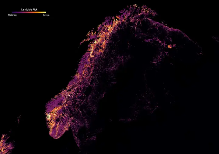 Plate 24: Landslide risk, Scandinavia (2)
-
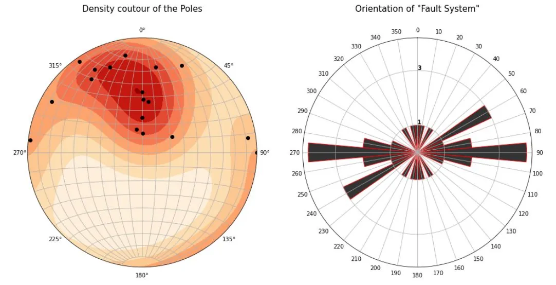
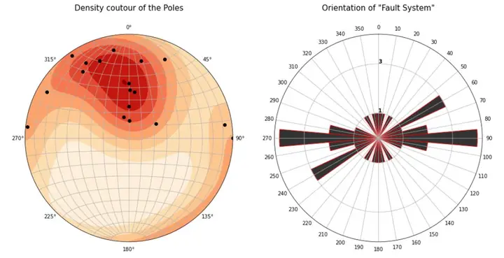 Plate 25: Kinematic analysis
-
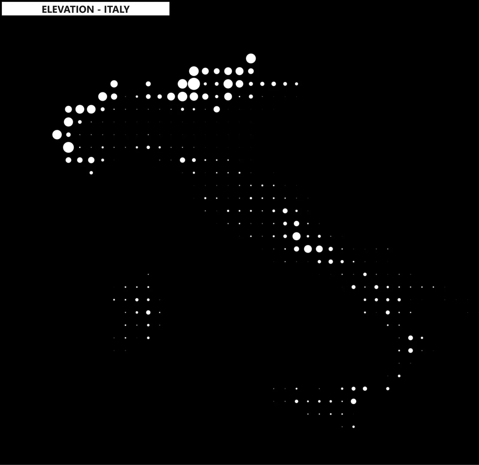
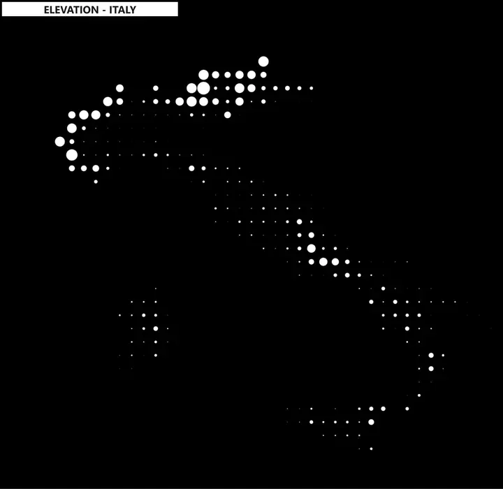 Plate 26: Elevation circles, Italy
-
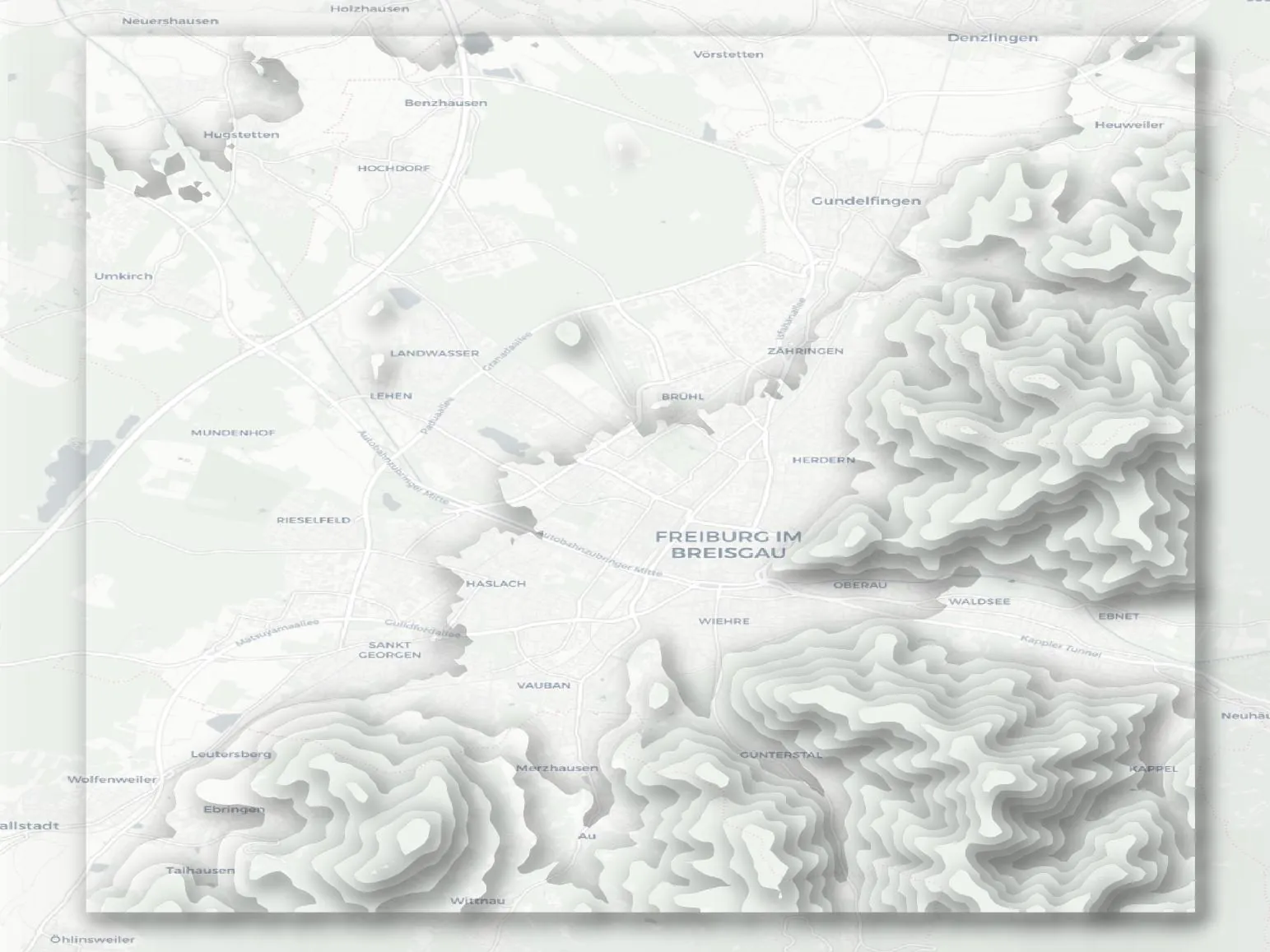
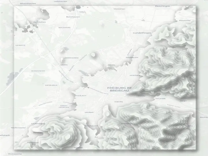 Plate 27: Shaded relief map
-
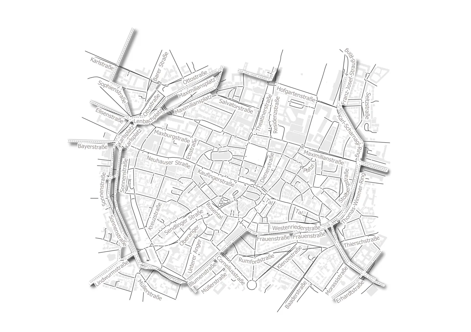
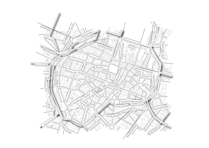 Plate 28: Munich street map
-
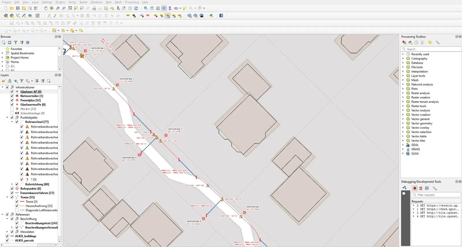
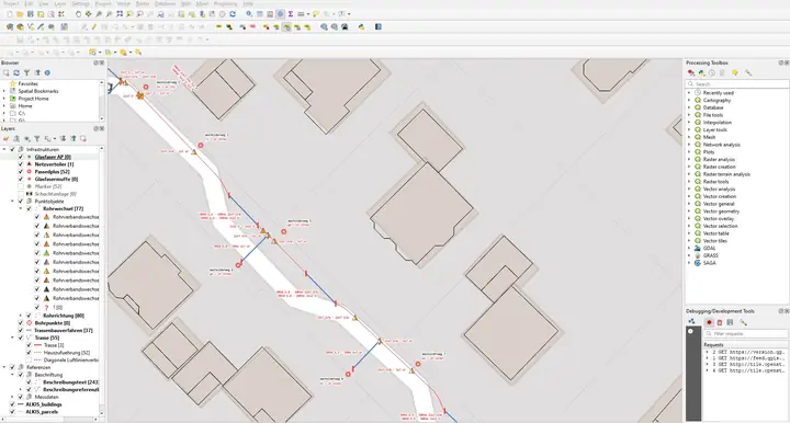 Plate 29: QGIS: building footprints
Contact
Earth observation, drone data or geospatial AI: I am always glad to exchange ideas.
- imabubakar@outlook.com
- in/imabubakr
- GitHub
- github.com/imabubakr
- vCard
- Add to contacts