Skills
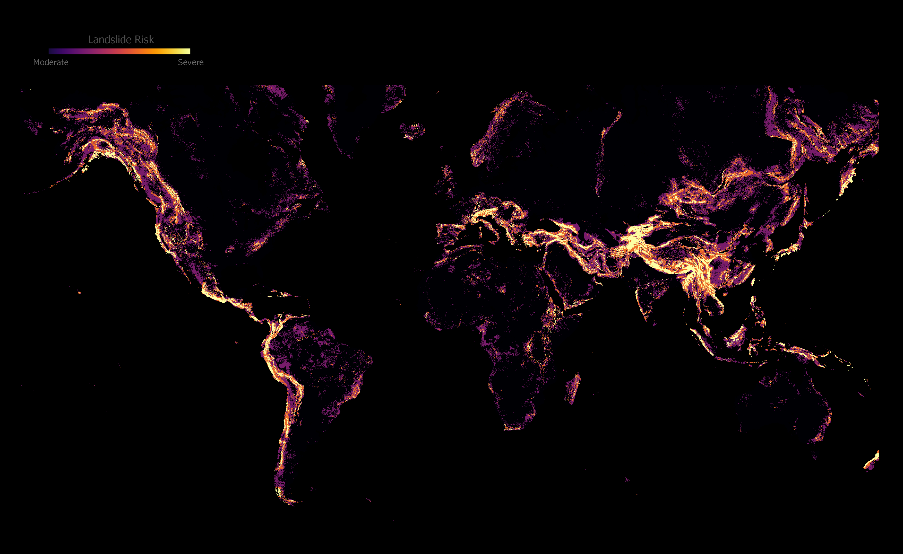
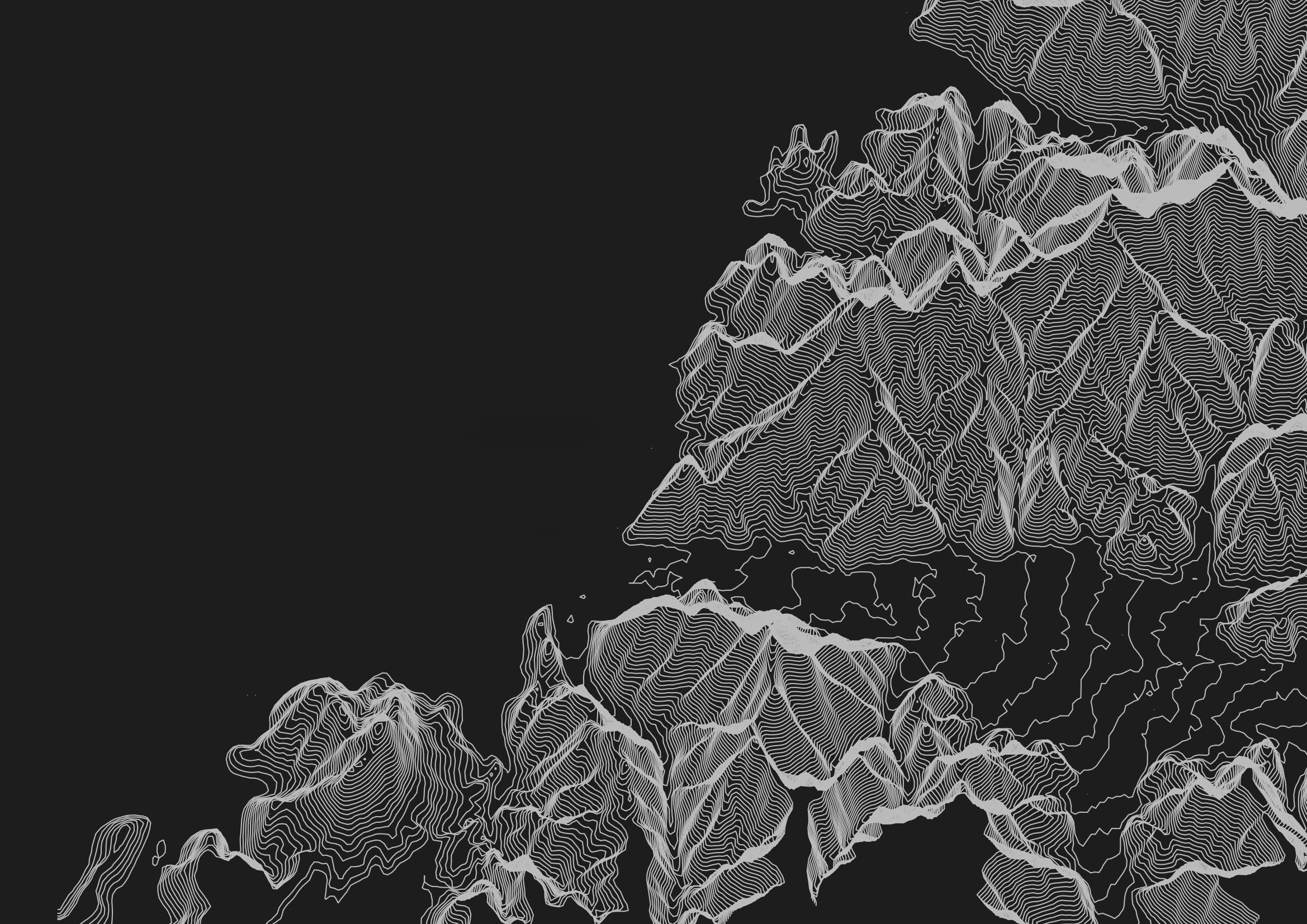
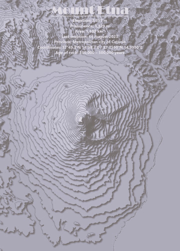
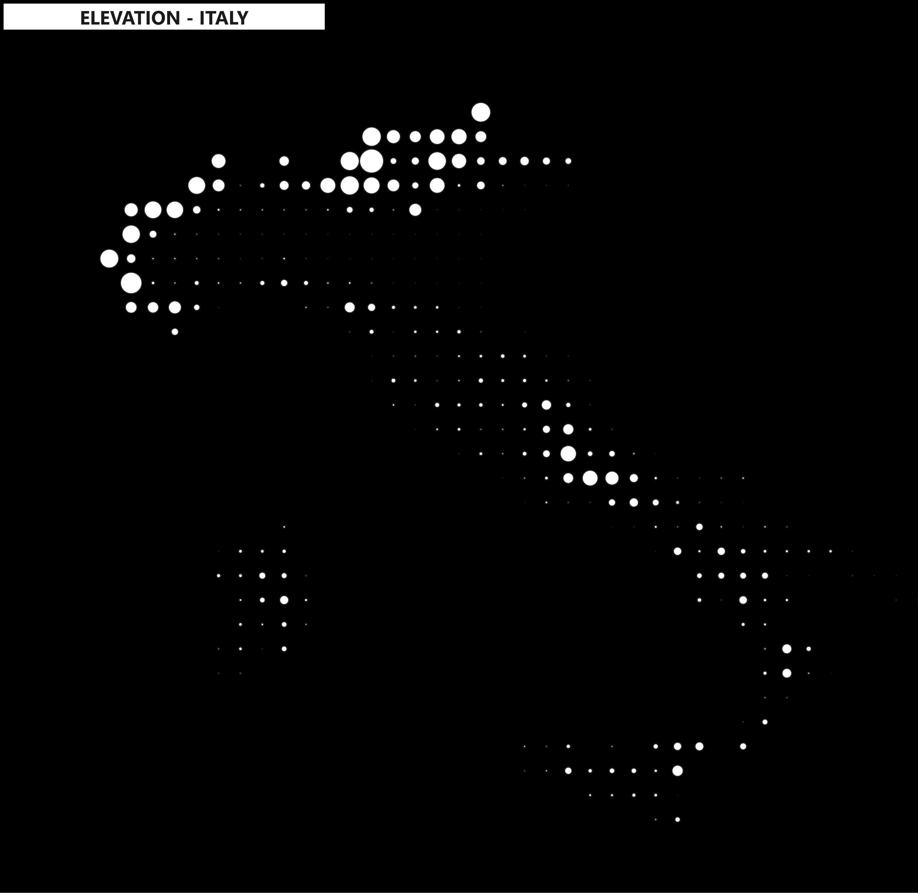
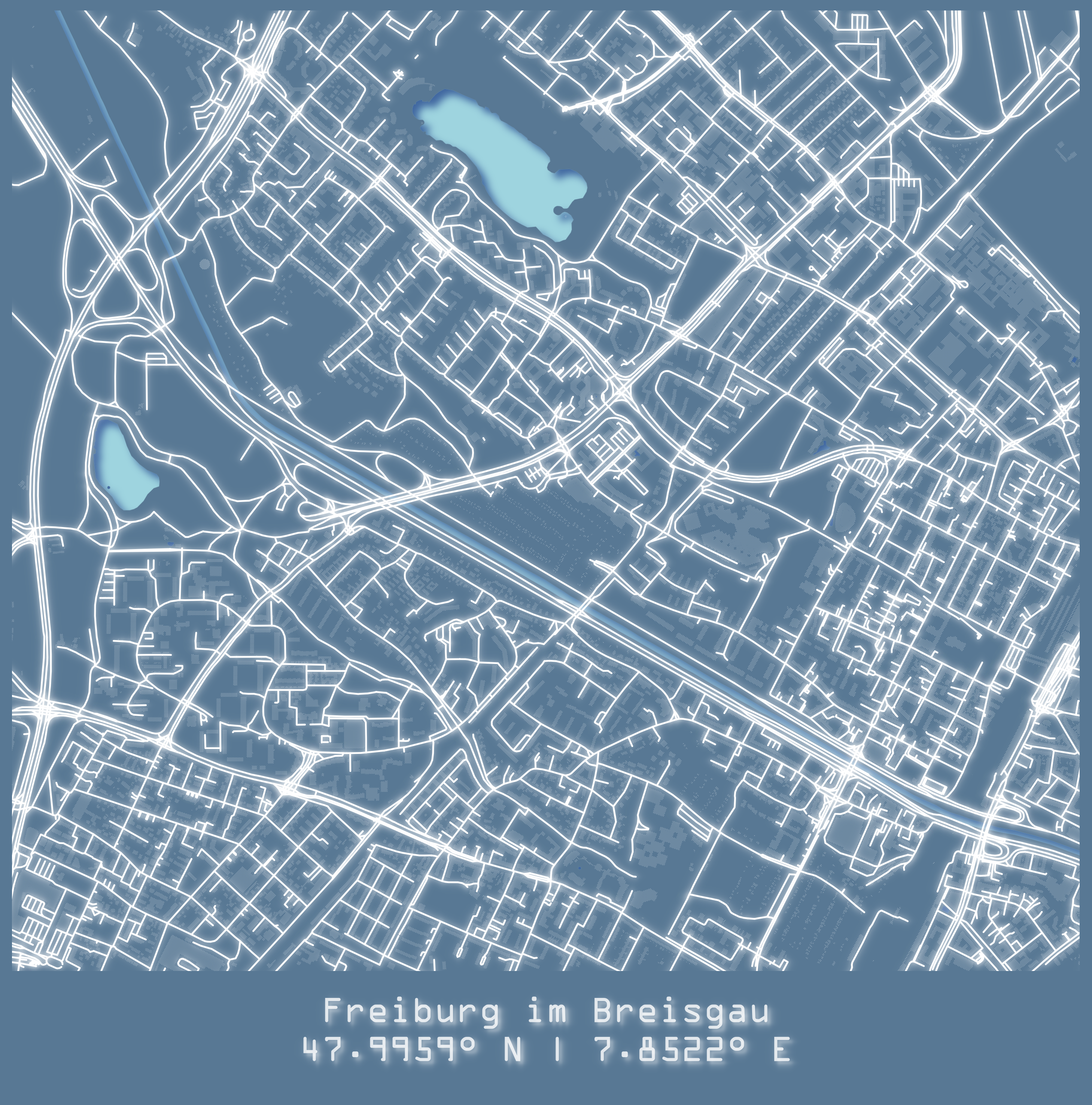
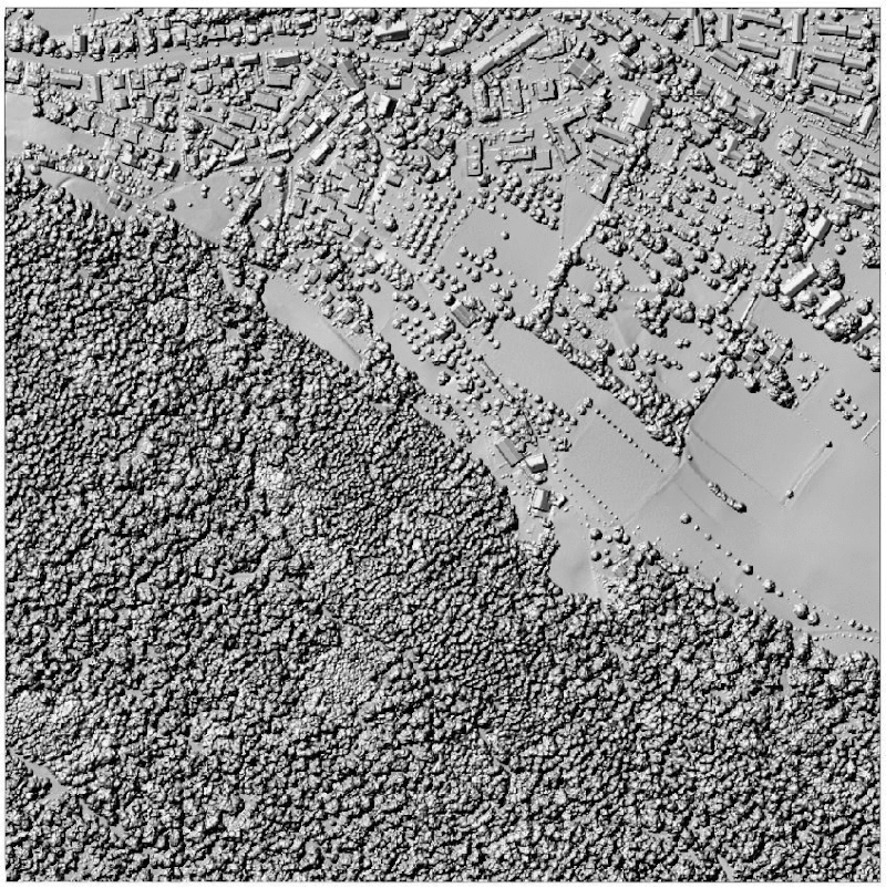
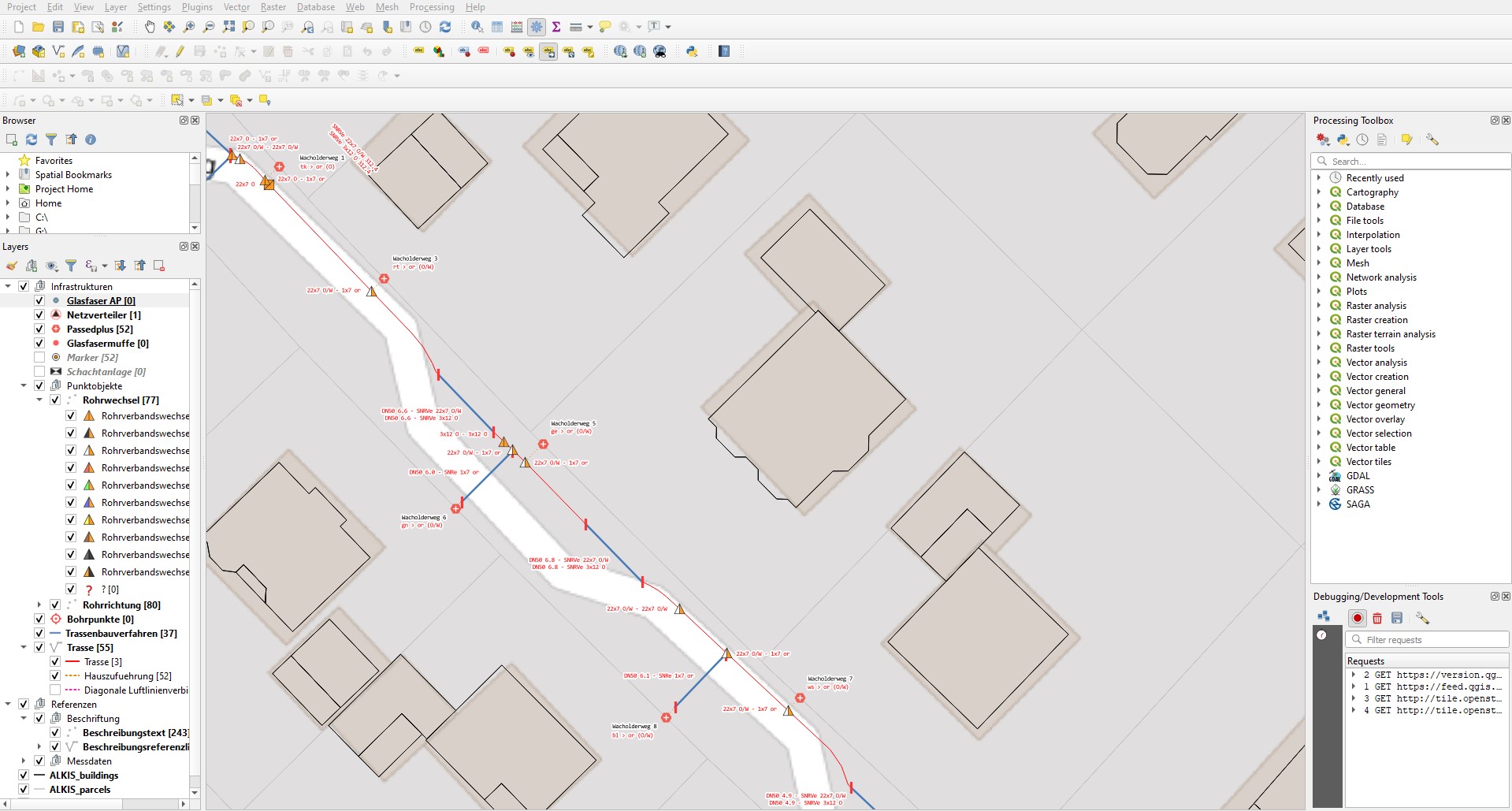
GIS & RS
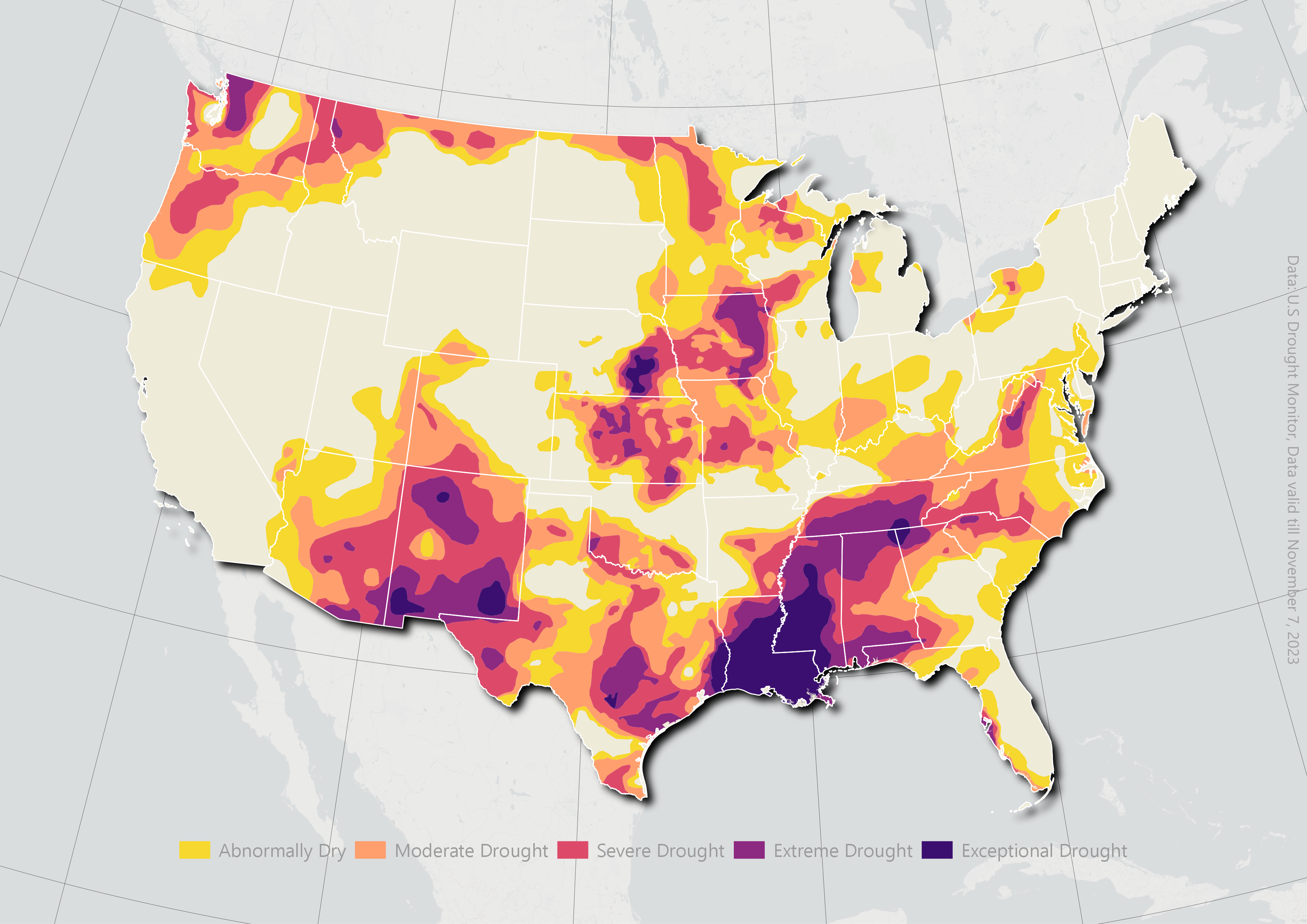
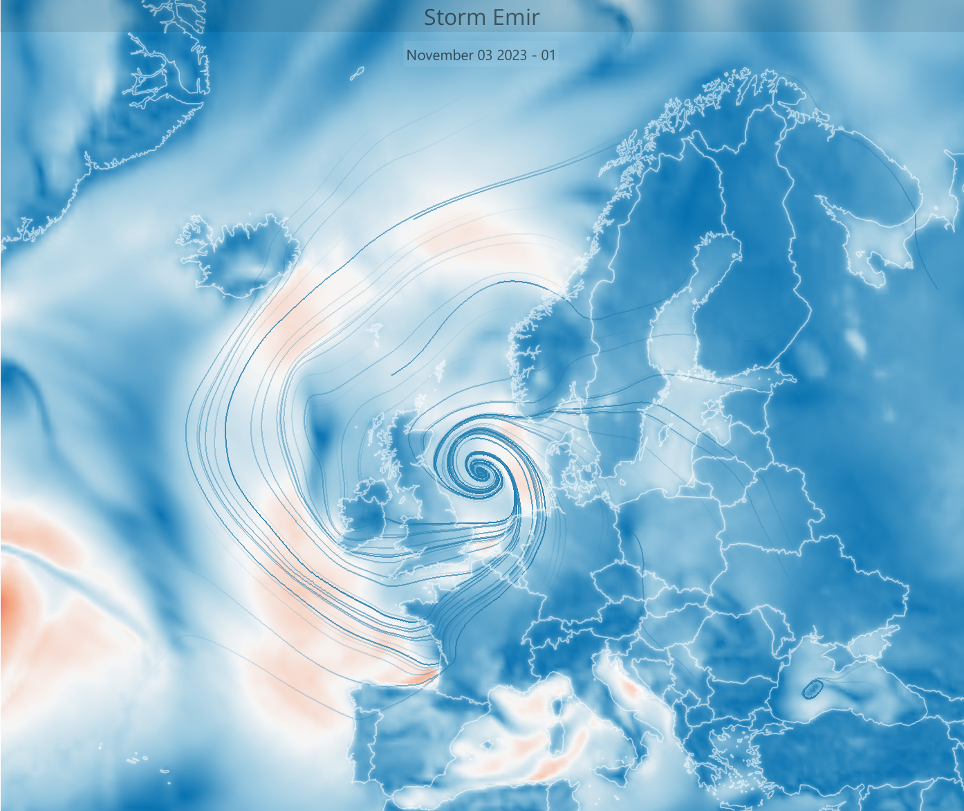
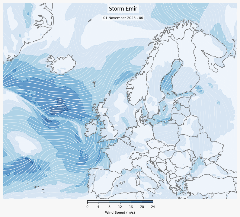
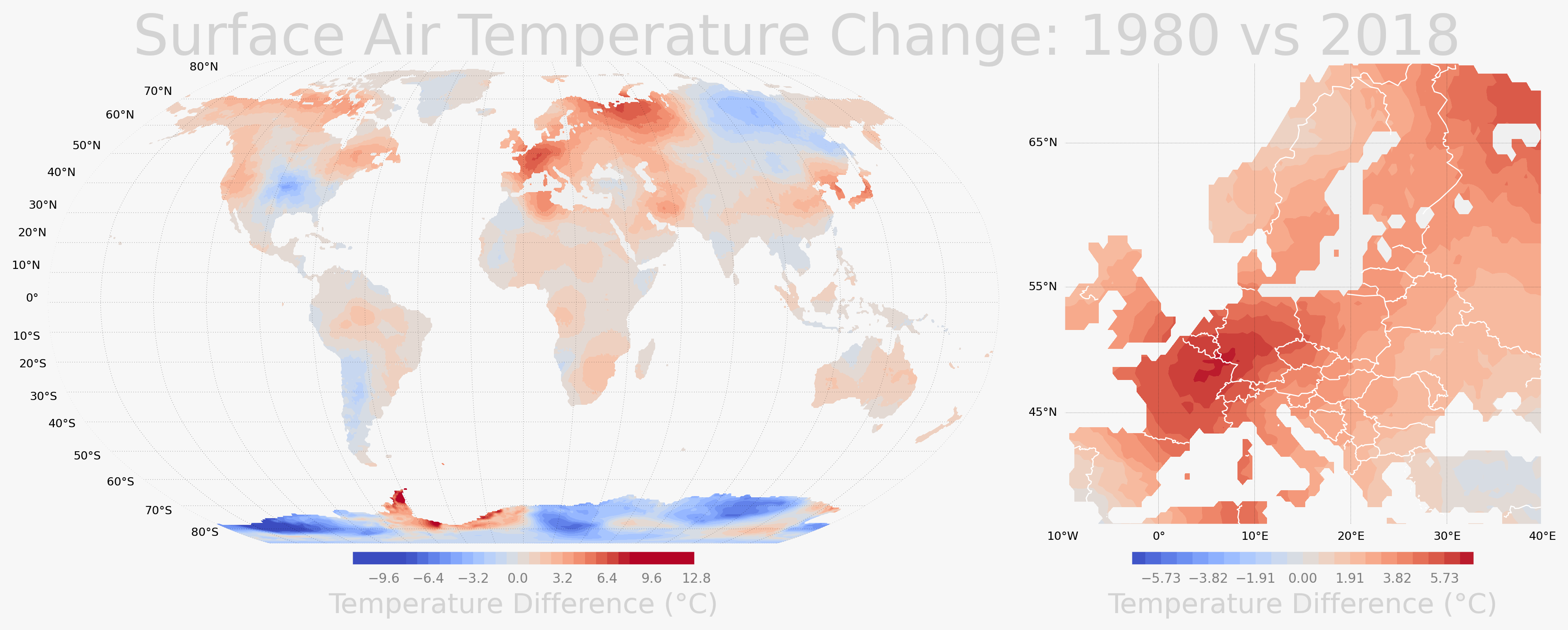
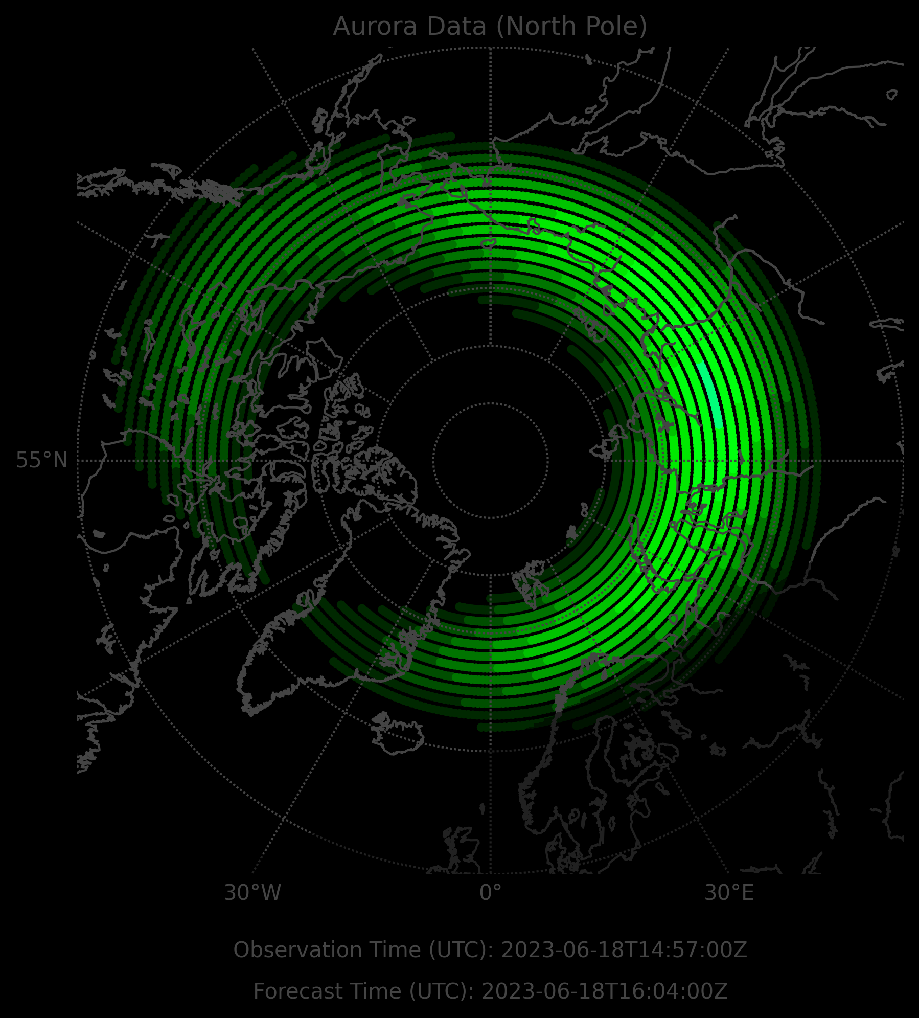
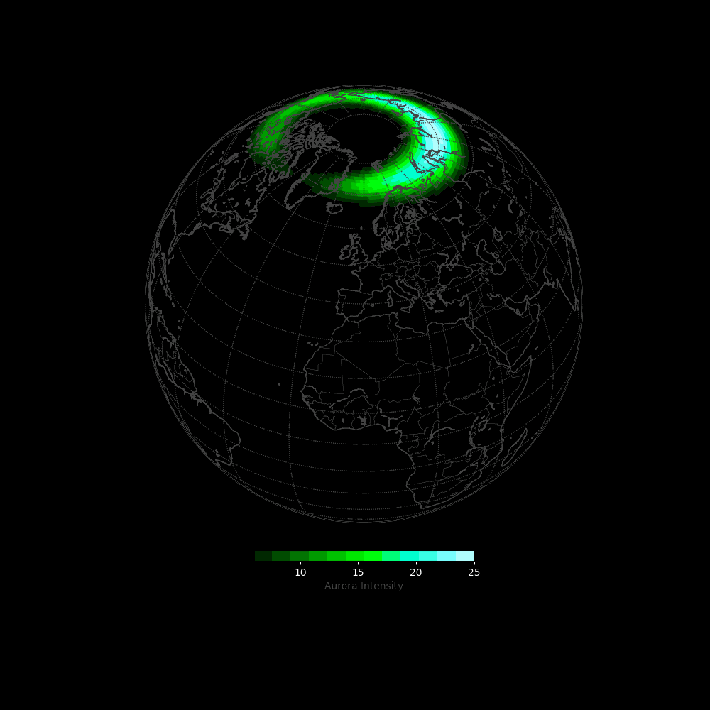
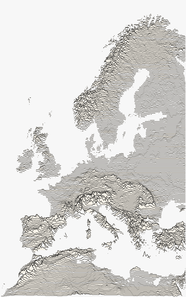
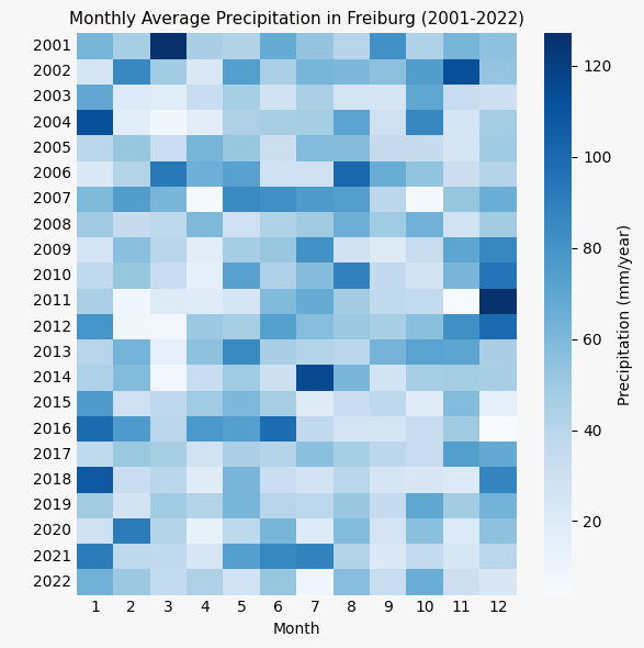
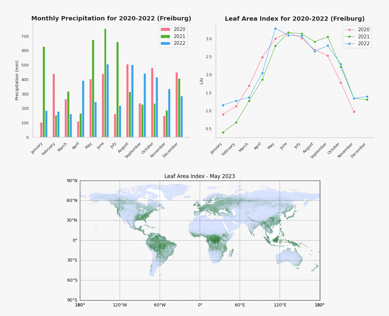
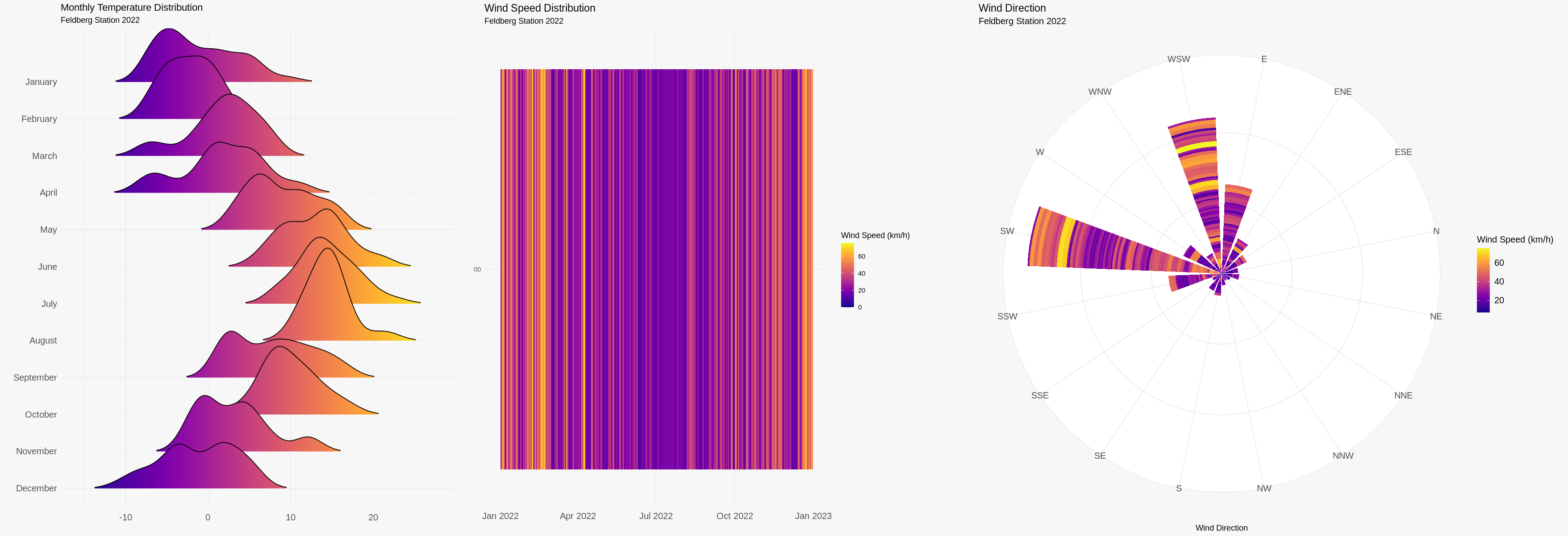
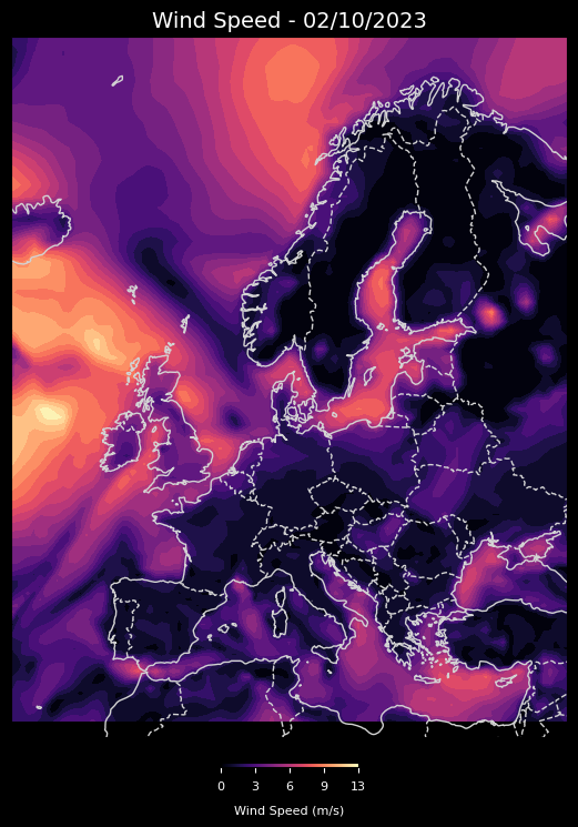
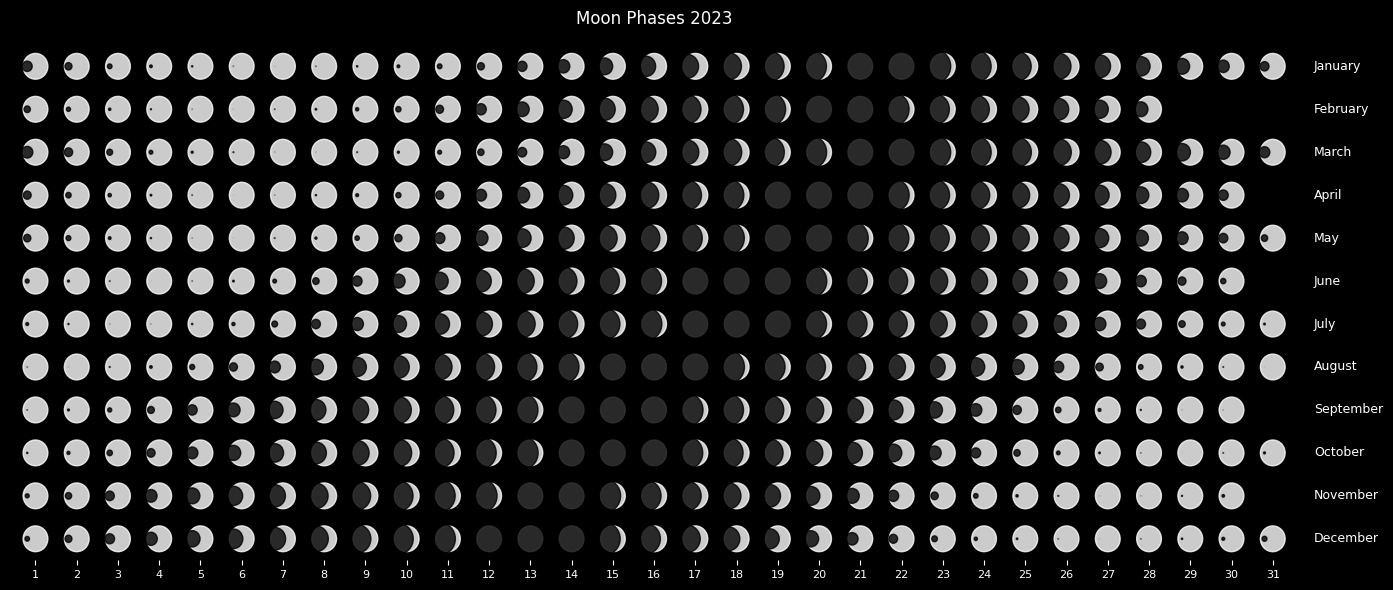
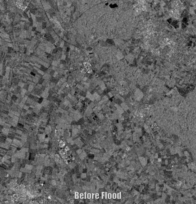
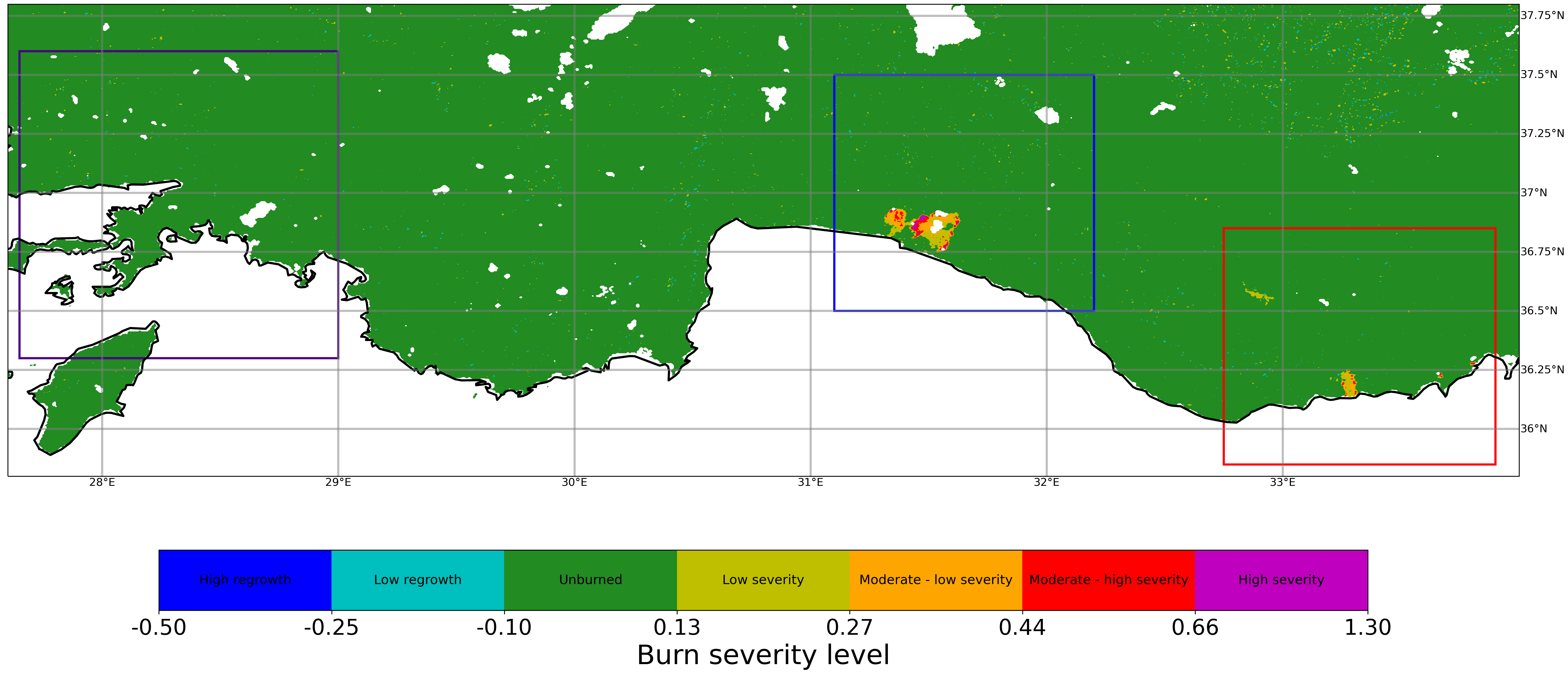
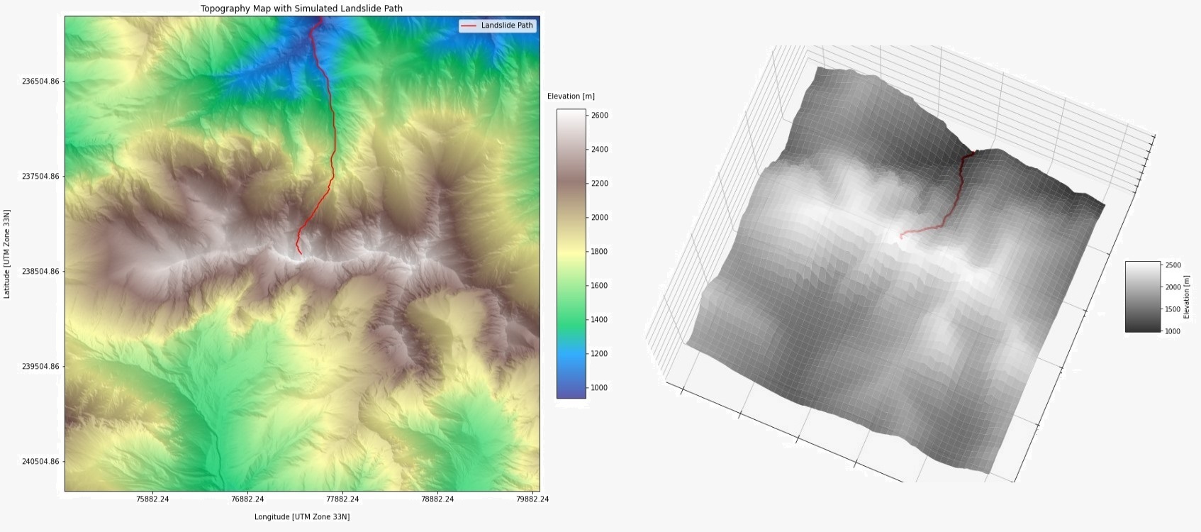
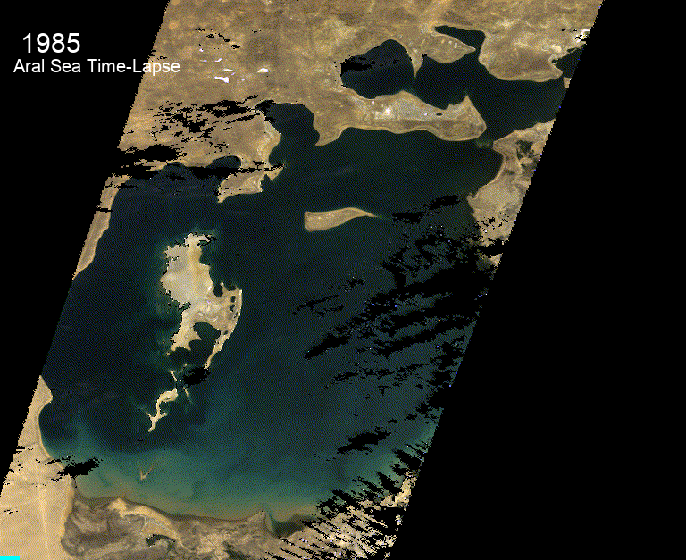
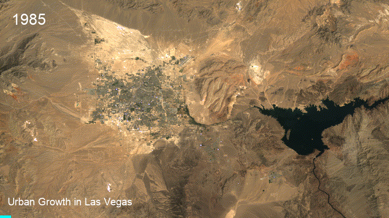
GIS (Geographic Information Systems) and RS (Remote Sensing) are powerful tools that can be used to analyze and visualize spatial data. With these skills, I am able to analyze and interpret geographical information to create detailed maps, conduct spatial analysis, and generate reports to support decision-making processes. I have experience using a range of GIS and RS software, such as ArcGIS, QGIS, SNAP and ENVI, and can integrate these tools with other data sources to gain a comprehensive understanding of spatial patterns and trends. Whether it's creating maps for planning purposes, conducting spatial analysis to identify hotspots, or using remote sensing techniques to monitor environmental changes, I can leverage these skills to provide valuable solutions and support to a range of projects. (Images in this category are of my hobbies or academic interests.)
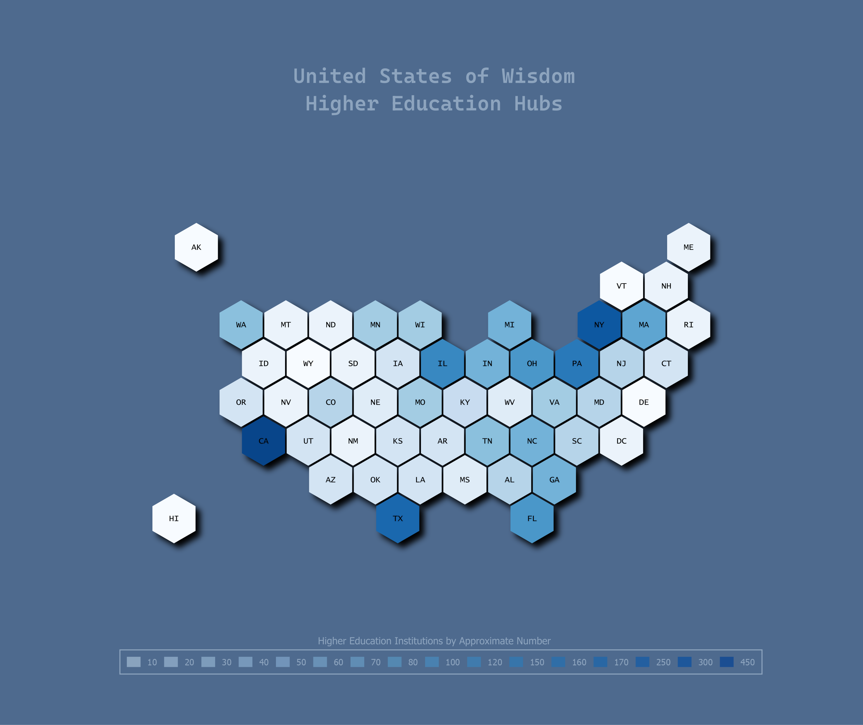
Programming
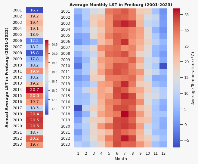
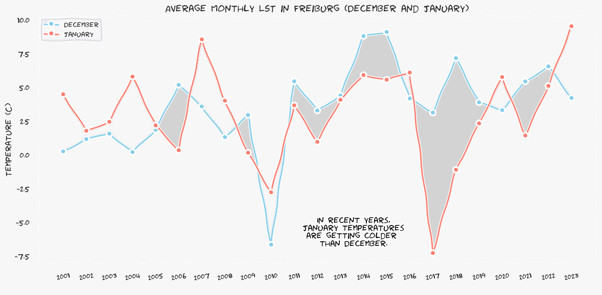
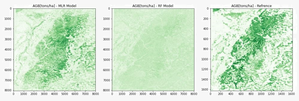
I am experienced with using Python for various data analysis tasks and have developed proficiency in using several popular Python libraries such as gdal, geopandas, cartopy, xarray, harp, geemap, scikit-learn, and PYSAL. I have also worked on several hobby projects that have allowed me to hone my machine learning skills in the geospatial domain. Moreover, my experience with R for spatial data analysis has enabled me to address a diverse array of geospatial challenges. (Images in this category are of my hobbies or academic interests.)
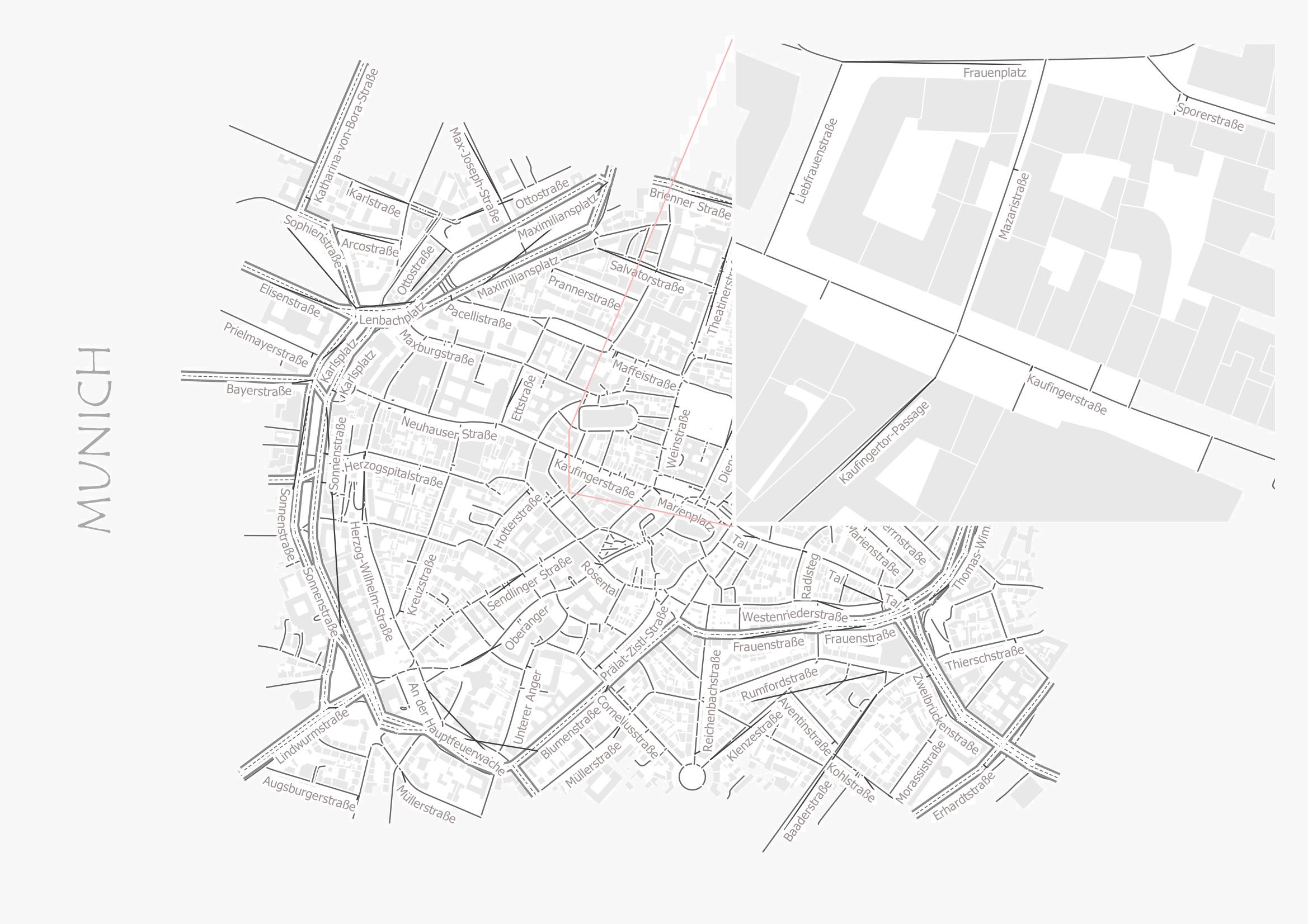
Geodatabases
I am skilled in working with geospatial databases such as PostGIS and SQLite, and have experience utilizing Spatial SQL to query, analyze and manage data within these databases. I am also experienced in integrating these databases with popular GIS software such as QGIS, and have worked on several projects where I have updated data, designed and implemented basic spatial data models, and published data through GeoServer. Overall, I am confident in my ability to effectively manage and analyze spatial data using these tools.
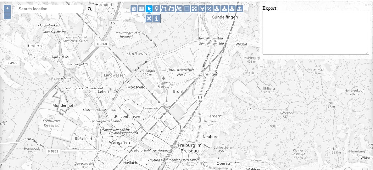
Web-Development
My most recent interest lies in web development, particularly in the context of Web GIS development. I have been actively exploring and gaining hands-on experience with powerful libraries like OpenLayers and Leaflet to create basic yet functional web GIS applications. While I am not yet proficient in this area, I am dedicated to building my skills in HTML, CSS, and JavaScript.