Curriculum Vitae
Muhammad Abu Bakar
Geospatial Professional
Email: imabubakar@outlook.com
Education
-
Master of Science in Geology
University of Freiburg, Germany, 2017 - 2020
Master Thesis: Simulation of multispectral and hyperspectral imaging techniques for mapping of epithermal ore deposits in vegetated zones.
- Relevant Courses: Computing in Geosciences (Numerical Modeling), Research Methods in Geosciences (GIS & RS), Geological Project (GIS & RS)
-
Master of Science in Remote Sensing & Geographic Information System
National University of Sciences and Technology, Pakistan, 2016 - 2020
Master Thesis: Development of an open-source Python-based slope stability model that incorporates remote sensing and geotechnical data for slope failure assessment.
- Relevant Courses: Advance Geographic Information System, Advance Remote Sensing and Image Processing, Advance Geodatabase and Programming, Spatial Analysis and Modeling, Web GIS
-
Bachelor of Science in Geology
Bahria University, Pakistan, 2012 - 2015
Bachelors Thesis: Petrophysical analysis of Joya Mair - Well 4.
- Relevant Courses: Advance Maths, Calculus, Data Structures, GIS & Image Processing, Programming Fundamentals, Statistics
Work Experience
-
Geospatial (EO) Data Scientist, Karuna Technology UG, Germany (Part-time)
March 2024 - Present
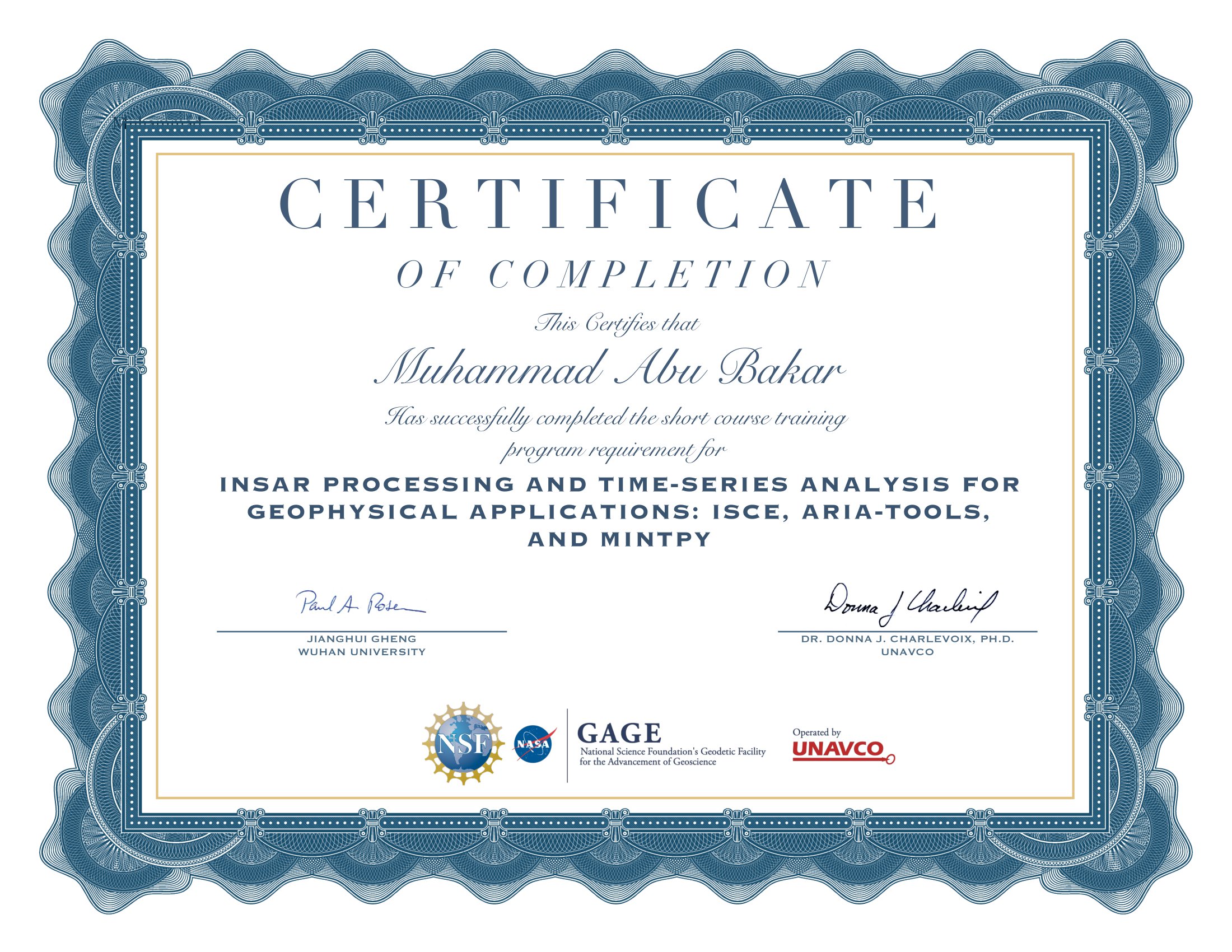
• Led the development and management of a comprehensive data pipeline using the ISCE processor for Differential InSAR, automating data acquisition, preprocessing, and interferogram generation.
• Designed and implemented Google Earth Engine workflows to select, preprocess (Refined Lee Filter), and download Sentinel-1 time-series images for machine learning model (Soil Moisture), improving data availability and processing speed.
• Applied machine learning techniques for tree species classification using fused data from multispectral and SAR, contributing to improved tree species classification in urban areas.
• Played a role in the development of training data for a tree crown segmentation model, improving model accuracy for automated tree detection and providing more reliable results for large-scale urban surveys.
• Processed vector data (pre- and post-processing) in QGIS to ensure spatial integrity and prepare data for further analysis, significantly reducing manual data handling time.
-
GIS & RS Specialist, MapTransfer, Germany
April 2021 - February 2024
• Managed spatial data workflows for a construction company, overseeing tasks such as georeferencing, orthophoto merging, and uploading cloud-optimized GeoTIFFs to AWS. Improved data accessibility and integration by seamlessly linking PostGIS with QGIS, enabling dynamic visualization of AWS-hosted layers and vector data tailored for construction site analysis.
• Independently developed and delivered in-house courses on LiDAR Data in QGIS and Spatial Data Analysis. Took a lead role in course development, particularly in Spatial SQL, ALKIS, and Geoserver, ensuring a comprehensive and up-to-date training curriculum.
• Managed, analyzed, and visualized geospatial data for a telecom project, adhering to the standardized information model of 'Automatisiertes Liegenschaftsbuch' (ALKIS).
• Played a pivotal role in a Web GIS project, integrating PostGIS vector layers into OpenLayers, enhancing spatial data accessibility and enabling more efficient web-based visualization and analysis for clients and stakeholders.
Academic and Personal Initiatives
-
Academics
In both academic and personal contexts, I actively engage in projects focusing on Earth Observation Data and Environmental Research. These include class assignments, semester projects, and various hobby initiatives, all involving geospatial data analysis and visualization (Python, R, GIS). Some of these projects, particularly those related to hobby initiatives, are available on my GitHub, and the visualizations can also be found on my personal homepage. The projects listed below reflect my academic pursuits:
-
• Glacier Mass Balance Analysis: Conducted a comprehensive study of the mass balance of Mýrdalsjökull and its sub-glaciers, utilizing historical imagery (Landsat 5, 7, 8, and Sentinel-2) and Digital Elevation Models (DEMs). Through manual digitization and volume calculations, I discovered a twofold increase in the glacier’s melting rate post-2000, which helped demonstrate the effects of climate change on glacial dynamics.
-
• Snow Cover and Precipitation Quantification: Employed MODIS and TRMM datasets to analyze snow cover extent and precipitation variability from 2000 to 2015. By normalizing the snow index from MODIS data and converting the TRMM monthly product, I gained insights into long-term changes in snow cover and precipitation patterns, contributing to climate change research..
-
• Hydrological Modeling in the Kabul Basin: Leveraged Landsat 7 data to calculate the snow index and assess changes in snow cover over time in the Kabul Basin. This study provided crucial information on the region's hydrological dynamics and the potential impacts of changing snowpack on water resources.
-
• Volcanic Terrain Mapping and Morphometric Analysis: Analyzed volcanic landcover, erosion, symmetry, and morphometry of Mauna Kea using Landsat 8 and ASTER DEM. Created a detailed landcover map and assessed the volcano's growth rate and morphological characteristics, contributing to the understanding of volcanic dynamics and landscape evolution.
Skills
Geospatial Technologies
- GIS: Expert-level proficiency in ArcGIS Pro, QGIS, and ArcMap, with advanced capabilities in spatial analysis, 3D mapping, and complex geospatial modeling for environmental, urban, and infrastructure projects.
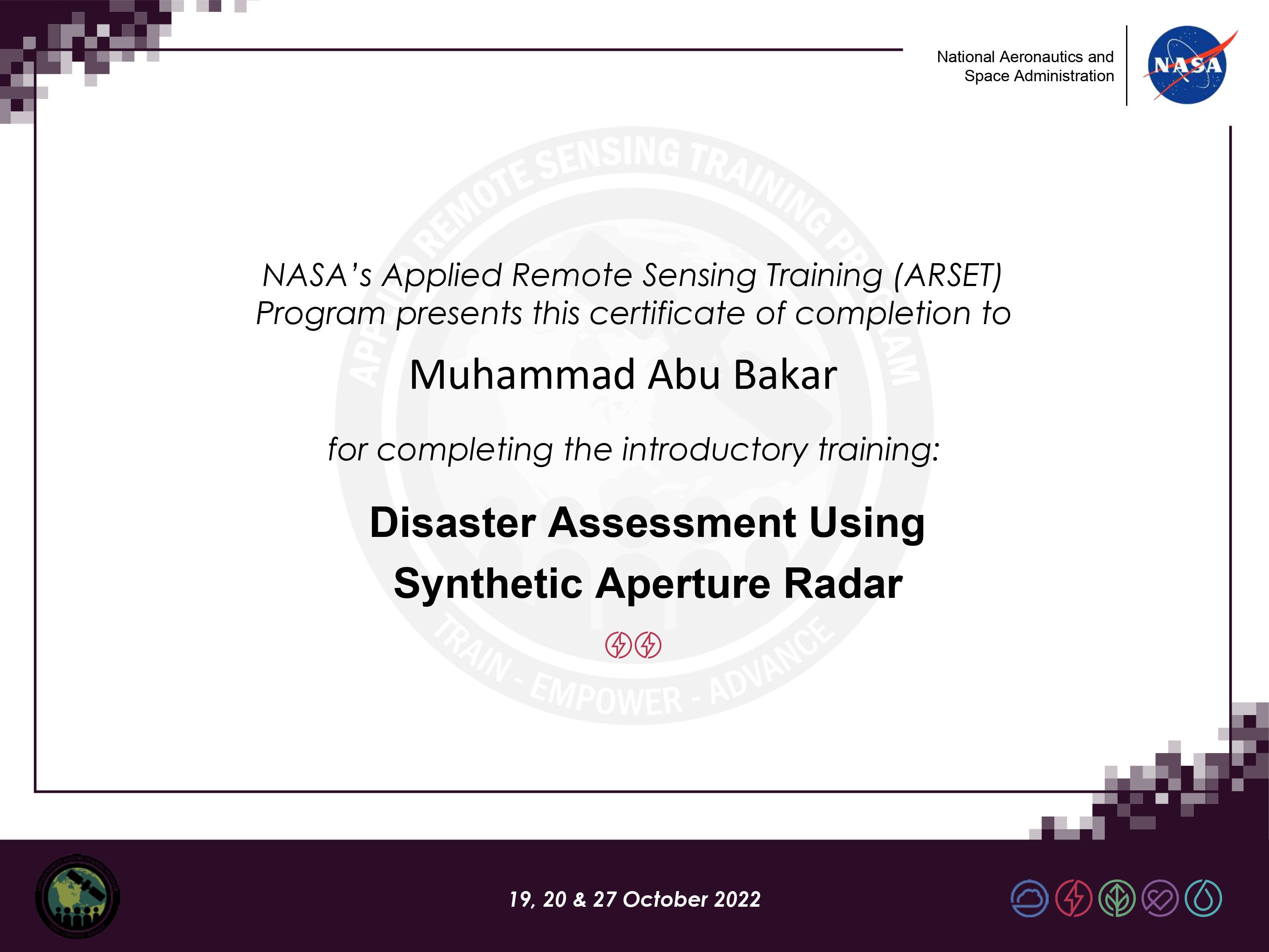
- Remote Sensing: Advanced expertise in multispectral, hyperspectral, and Synthetic Aperture Radar (SAR) image processing using cutting-edge tools including ENVI, Erdas Imagine, eCognition, ESA SNAP, and WhiteboxTools. Skilled in extracting complex environmental and land use information through advanced image classification and spectral analysis.
- Cloud-Based Processing: Expert in Google Earth Engine for large-scale environmental analysis, specializing in multi-sensor data fusion, machine learning-driven land cover classification, and global-scale satellite imagery processing.
- LiDAR Data Processing: Proficient in handling LiDAR point cloud data, including pre-processing (e.g., filtering, noise removal) and post-processing (e.g., classification, feature extraction) using tools like CloudCompare and WhiteboxTools. Capable of automating workflows to convert LiDAR point clouds to Digital Elevation Models (DEMs) and Digital Surface Models (DSMs).
Databases & Spatial Data Management
- Spatial Databases: Advance skills in geospatial database management using PostGIS, SpatialLite and DuckDB, ensuring efficient data storage, querying, and management of large-scale geospatial datasets.
- Database Technologies: Proficient in SQL and database design for effective storage, retrieval, and manipulation of spatial data.
Programming & Data Science
- Geospatial Programming: Advanced proficiency in Python (GDAL, Fiona, Rasterio, Scikit-learn, TensorFlow), R, and Spatial SQL for sophisticated geospatial data analysis, machine learning model development, and workflow automation.
- Machine Learning: Advanced application of machine learning algorithms (CatBoost, CNN) for geospatial feature extraction, land cover classification, predictive spatial analysis, and integration with remote sensing data.
- Data Visualization: Skilled in creating interactive, geospatial visualizations using QGIS, Python (Cartopy, Basemap), and JavaScript (Leaflet, OpenLayers) for dynamic mapping and spatial data exploration.
Web Development & Cloud Services
- Web Mapping: Intermediate proficiency in frontend development with HTML, CSS, and JavaScript, focusing on building interactive geospatial web applications using frameworks like Leaflet and OpenLayers.
- Cloud Infrastructure: Intermediate proficiency in AWS ecosystem, including EC2 deployment, S3 data management, and cloud-based hosting for geospatial applications and services.
Additional Technical Competencies
- DevOps & Automation: Skilled in Linux shell scripting, with experience automating geospatial data workflows (GDAL), and utilizing Git for version control in collaborative development environments.
- Technical Documentation: Skilled in LaTeX for comprehensive technical and scientific documentation, including project reports and user manuals.
- Professional Tools: Proficient in Microsoft Office Suite (Word, Excel, PowerPoint) for data analysis, report generation, and professional presentations.
Languages
- English (C2)
- German (B1) - Learning in Progress
